
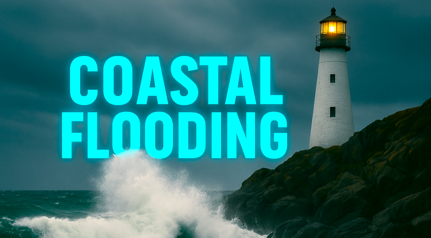
Miami, FL – A Coastal Flood Advisory remains in effect for much of South Florida’s east coast today as King tides continue to impact low-lying coastal areas, according to the National Weather Service in Miami. Scattered showers and thunderstorms are forecast to develop this afternoon and continue into the early evening hours, bringing the risk of localized urban flooding.
The weather service warns that minor to moderate coastal flooding may occur within 1.5 to 2 hours of each high tide through at least Thursday evening. Motorists are advised not to drive through saltwater-flooded roads, as tides and rain could combine to create deeper water in some spots.
The advisory area extends from Miami and Homestead north through Fort Lauderdale and West Palm Beach, with potential impacts to neighborhoods, marinas, and low-lying roadways along the Atlantic coast.
Temperatures will stay seasonably warm, with highs reaching 88°F in Miami, 87°F in Fort Lauderdale and West Palm Beach, and 90°F in Naples. Afternoon storms are expected to favor southern portions of the region, and brief lightning or gusty winds could accompany stronger cells.
Residents are urged to monitor tide times and local forecasts for updates on potential flooding or storm development through the evening.

