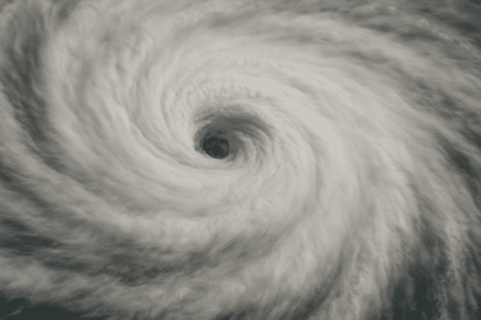
Columbia, S.C. – A weak front is expected to push into South Carolina this evening as Hurricane Erin drifts farther out into the Atlantic, bringing back the threat for showers and thunderstorms across much of the state. Afternoon highs are climbing into the upper 80s to near 90, making for a humid setup before storms redevelop.
According to the National Weather Service in Columbia, the best chance for storms will be during the late afternoon and evening hours, especially along the I-20 corridor and into the Midlands. Localized downpours could cause ponding on roads during the evening commute, while brief gusty winds are possible with stronger cells.
Residents in Charleston, Florence, and Columbia should prepare for scattered rainfall through tonight, with conditions improving by early Friday. Travelers are advised to keep an eye on rapidly changing radar conditions and avoid driving through flooded intersections.
Humidity will remain high into the weekend, with storm chances persisting, though less widespread than today. More stable conditions are expected by early next week as drier air filters in behind the departing front.


