
South Carolina – Fog clings low to the ground across the Midlands this morning, softening streetlights and blurring the edges of familiar roads. The air feels unusually warm for January, but this pattern is already shifting.
Areas of fog linger through mid-morning, reducing visibility for drivers around Columbia and along I-26. Slow down in low-lying spots and near rivers, where mist thickens quickly. Once fog lifts, temperatures surge into the mid to upper 70s, creating a springlike feel for a few hours.

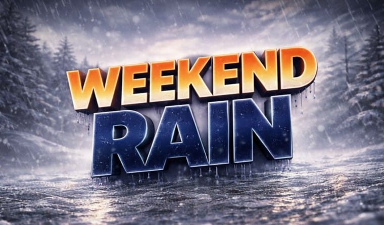
That warmth does not hold. Clouds increase tonight as moisture streams north. By Saturday afternoon, rain chances rise, with scattered showers developing across the region. Rain becomes more likely Saturday night, turning roads slick and limiting visibility after dark. Plan extra time if traveling late Saturday.
Sunday brings change. Skies brighten, but cooler air filters in behind a passing front. Highs fall to near 60, and a brisker breeze makes it feel cooler than recent days. To be fair, the bigger concern arrives after sunset.
Sunday night temperatures drop sharply into the upper 20s. Any lingering moisture from weekend rain may refreeze, creating patches of black ice on bridges, ramps, and shaded roads. This flash-freeze setup is common in January and often catches drivers off guard.
Monday looks quieter but colder. Sunshine returns, yet highs struggle to reach 50. Winter jackets return to the morning routine, after all.
Meteorologists are tracking a larger system impacting much of the Southeast, with heavy rain farther south. Columbia avoids severe weather, but timing remains critical for travel and outdoor plans.
Five-Day Outlook for Columbia, SC
Saturday: Chance of rain, high near 78
Sunday: Mostly sunny, cooler, high near 60
Monday: Sunny, high near 50
Tuesday: Sunny, high near 57
Wednesday: Chance of rain, high near 58

