
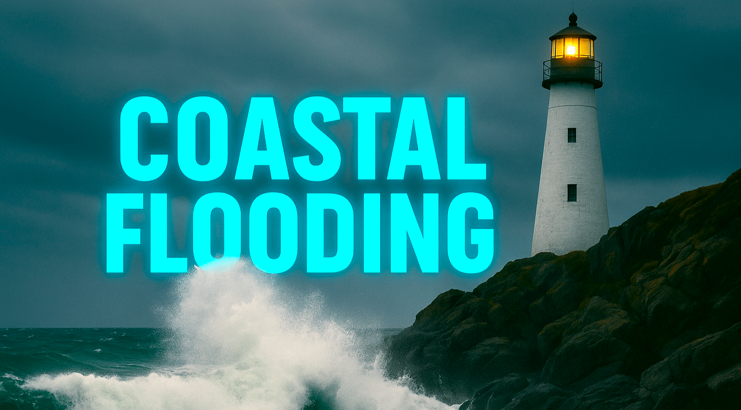
CHARLESTON, S.C. – Strong northeast winds are driving pounding surf and coastal flooding into the Charleston area through Sunday morning, bringing dangerous beach and road conditions as a powerful fall storm lingers offshore.
According to the National Weather Service Charleston, both a High Surf Advisory and a Coastal Flood Warning remain in effect through early Sunday. Large breaking waves up to 8 feet and persistent onshore winds could cause significant erosion and water over roadways, especially near high tide along U.S. Highway 17 and East Bay Street downtown. Saltwater inundation may reach 2 feet above ground in low-lying areas, with minor to moderate flooding expected during each high tide cycle.
Motorists should avoid flooded streets, turn around at barriers, and never drive through standing water. Beachgoers are urged to stay out of the surf, as rip currents remain strong through late Saturday. Power crews and emergency managers are on alert for localized outages and blocked coastal routes during the morning high tides.
Showers and gusty winds will ease by late Saturday, giving way to drier skies and a mild Sunday near 74 degrees. The start of the week looks calmer, offering a welcome break for pumpkin patch trips, fall markets, and coastal cleanups as the first hint of cooler, crisp October air moves inland.
Five-Day Forecast for Charleston, SC:
Fri: 71/64 – Showers and breezy; coastal flooding likely near high tide.
Sat: 71/64 – Scattered showers; lingering high surf risk.
Sun: 74/63 – Partly sunny; mild and calmer breezes.
Mon: 78/63 – Sunny and pleasant; perfect for fall outings.
Tue: 77/62 – Mostly sunny; seasonal temperatures continue.

