
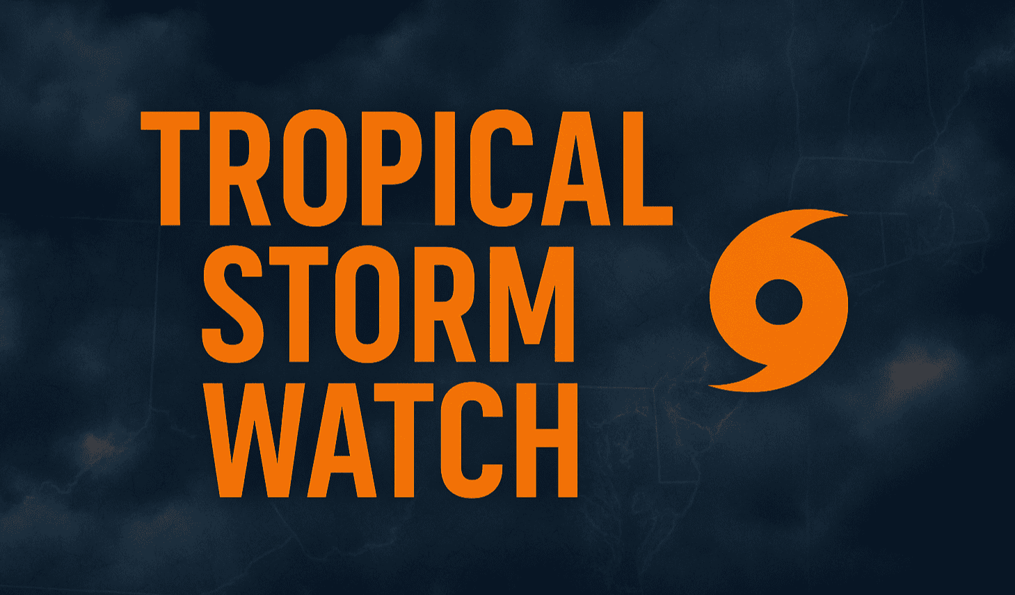
Charleston, South Carolina – Tropical storm conditions could begin affecting Charleston Harbor and coastal waters from Edisto Beach to the South Santee River by Saturday night, prompting an urgent Tropical Storm Watch for the region.
According to the National Weather Service in Charleston, winds could reach 40 mph with gusts and seas may build to 7 feet offshore through Sunday afternoon. The Charleston Harbor could see localized impacts with 1 to 2-foot seas and strong currents.
Areas under the watch include Charleston, McClellanville, and Edisto Island, where residents are urged to secure property and avoid unnecessary travel near the water. The system could cause limited storm surge flooding up to 2 feet in surge-prone locations during Saturday afternoon and evening.
Rainfall may total around 1 inch, with isolated areas experiencing localized street flooding or poor drainage issues. While tornado potential remains low, brief gusty squalls may still occur.
Boaters are advised to remain in port and prepare for tropical-storm-force winds. Small vessels and unsecured docks are at particular risk.
The storm’s impacts could persist into Sunday, with gradual improvement expected early next week.
🔭 FIVE-DAY MARINE FORECAST (Charleston Area Waters)
- Saturday: S winds 25–35 kt, gusts to 40 kt, seas 4–7 ft offshore
- Sunday: SW winds 20–30 kt, seas 4–6 ft, scattered showers
- Monday: SW winds 10–20 kt, seas 3–5 ft, improving conditions
- Tuesday: SW winds 10–15 kt, seas 3–4 ft, mostly clear
- Wednesday: SW winds 10–20 kt, seas 3–5 ft, stable marine weather

