
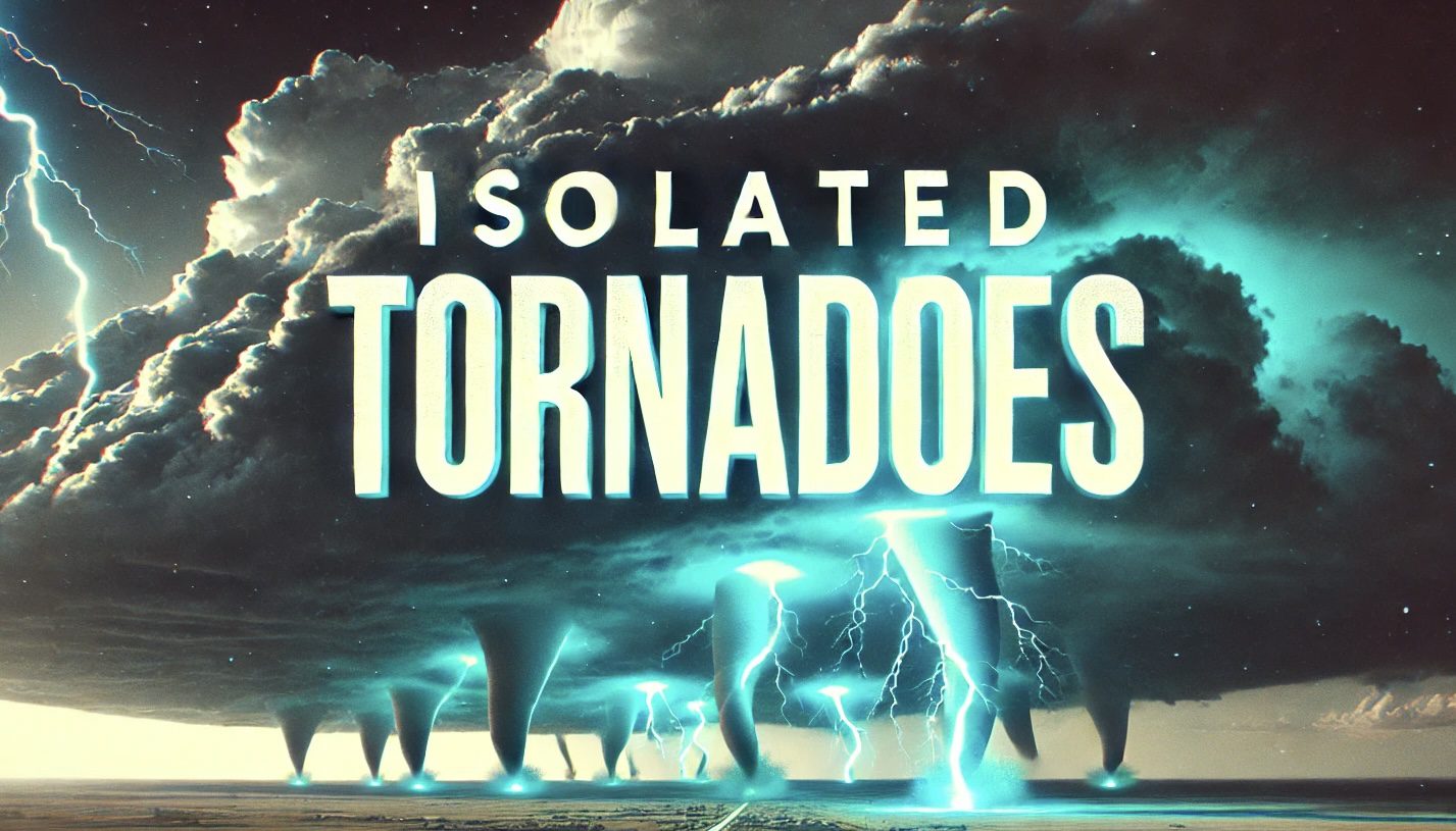
Houston, TX – Strong to severe storms are expected to impact portions of the Brazos Valley and Piney Woods region this evening, bringing threats of large hail, damaging winds, and isolated tornadoes. The most active period for these storms is forecast between 6 p.m. and 9 p.m. CDT.
According to the National Weather Service Houston-Galveston office, thunderstorms may develop along a frontal boundary in the late afternoon and intensify as they move eastward into the evening. Madison, Houston, Trinity, and Polk counties are under increased risk, with large hail exceeding two inches in diameter being the primary concern. However, forecasters warn that strong winds and brief tornadoes cannot be ruled out.
The Severe Weather Outlook indicates a Level 2 (Slight Risk) for much of the affected area, while the Severe Hail Outlook highlights a 15% probability of significant hail. Residents in and around College Station, Huntsville, and Livingston should remain vigilant and prepared for rapidly changing conditions.
Authorities urge residents to stay weather-aware, secure loose outdoor objects, and have multiple ways to receive emergency alerts. If a tornado warning is issued, seek shelter in a sturdy building away from windows.

