
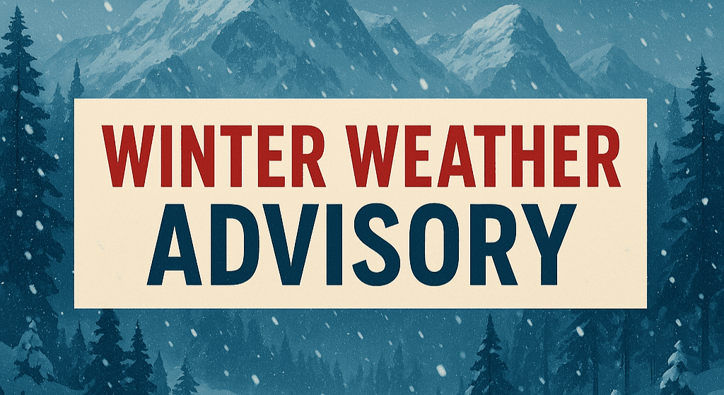
Savannah, Georgia – A deepening cold snap paired with an offshore low-pressure system could bring freezing temperatures and a wintry mix to coastal Georgia through Sunday, raising concerns for slick roads and hazardous wind chills across the region.
According to the National Weather Service in Charleston, very cold air already moving into the Southeast will remain locked in place as an area of low pressure develops offshore this weekend. That setup could allow precipitation to spread inland from the coast, with freezing rain or light snow possible in parts of Chatham, Liberty, and McIntosh counties by early Sunday.

Wind chills could fall into the teens overnight Saturday, particularly inland from Savannah, while high temperatures on Sunday may struggle to climb out of the 30s. Forecasters say temperatures could run 20–25 degrees below normal, approaching record lows in some areas.
Even minor icing could impact elevated surfaces and less-traveled roads, especially before sunrise Sunday. Residents are urged to monitor updates closely, limit overnight travel, and ensure heaters and pipes are winter-ready.
Confidence remains low on exact snowfall or ice totals, but the timing suggests the greatest threat will be from Saturday night into Sunday morning.

