
California – Flags snap sharply along the Embarcadero this morning as rain taps steadily on sidewalks and wind pushes low clouds across the Bay. The first day of 2026 arrives unsettled, with gusty winds, coastal flooding concerns, and repeated rounds of rain shaping travel plans across San Francisco and nearby coastal communities.
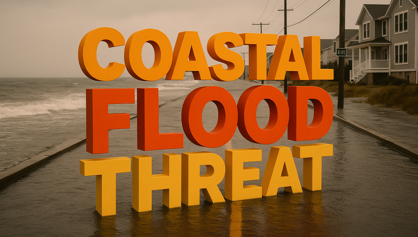
According to the National Weather Service, a Wind Advisory is in effect from Friday afternoon through early Saturday, with south winds of 15 to 25 mph and gusts reaching 50 mph. A Coastal Flood Advisory also remains active through Sunday afternoon as high tides combine with ongoing rain and wave action.
The strongest winds will hit exposed areas, including the San Francisco Peninsula, coastal hills, and the Bay shoreline. Loose objects may blow around, tree limbs could fall, and isolated power outages are possible. High-profile vehicles may struggle on bridges and elevated roadways, especially along US-101 and I-280.
Along the coast and Bay shoreline, minor flooding is possible in low-lying areas near San Francisco Bay, San Pablo Bay, and Monterey Bay. Parking lots, parks, and shoreline roads could briefly flood around peak tides. Drivers should allow extra time and avoid driving through standing water of unknown depth.
Rain continues on and off through the weekend, keeping roads slick and visibility reduced. Temperatures stay mild, mainly in the upper 50s to low 60s, but wet pavement and wind will make it feel cooler at times.
More advisories may be issued as additional systems move in. Heading out for New Year’s weekend travel? Let us know what conditions look like where you are.
Five-Day Outlook for San Francisco, California
• New Year’s Day: Rain and isolated thunderstorms possible, high near 60°F
• Friday: Showers likely, windy late, high near 60°F
• Saturday: Periods of rain, breezy, high near 61°F
• Sunday: Continued showers, high near 58°F
• Monday: Showers linger, cooler, high near 56°F

