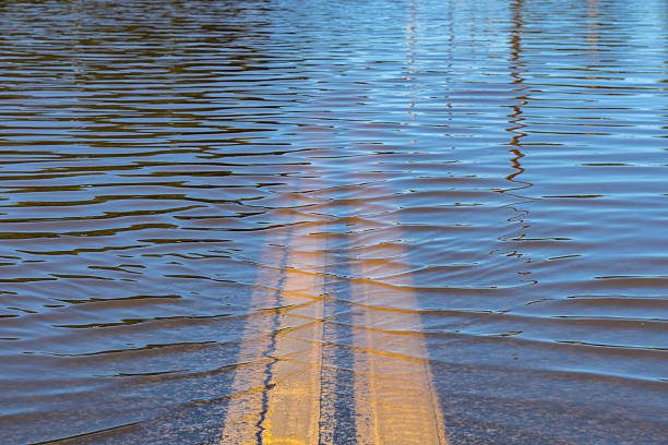
San Francisco, CA – Coastal flooding is expected along the San Francisco Bay shoreline through Monday as King Tides elevate water levels, prompting a Coastal Flood Advisory. Residents and commuters are urged to heed safety precautions as minor flooding could impact roads, parks, and low-lying areas.
According to the National Weather Service, tidal levels will peak at 7.02 feet at 10:22 a.m. Sunday and again at 6.82 feet around 11:08 a.m. Monday. This increase, caused by higher astronomical tides, poses risks for areas near the Pacific Ocean and San Francisco Bay. Isolated road closures are possible. Drivers are advised to avoid barricaded areas and refrain from driving through flooded roadways.
The advisory remains in effect until 1 p.m. Monday, with flooding expected during high tides. Commuters along waterfront areas should plan alternative routes to avoid disruptions.
Extended Forecast for San Francisco
• Sunday Night: Partly cloudy, slight chance of rain after 10 p.m. Low near 46°F.
• Monday: Rain likely, especially midday, with highs near 58°F. Winds from the southeast at 7–10 mph.
• Monday Night: Rain tapering off to a 60% chance by evening. Low around 49°F.
• Tuesday: Mostly sunny, highs near 61°F.
• Wednesday: Continued sunshine, highs around 60°F.
Residents are encouraged to remain cautious in flood-prone areas and stay updated on local advisories.
Be sure to follow us on Instagram & like us on Facebook to stay up-to-date on more relevant news stories and SUPPORT LOCAL INDEPENDENT NEWS!


