
Denver, Colorado – Rapid swings between spring warmth and late-season snow could define daily life across the Rockies this April, with no consistent storm pattern locking in.
According to the Climate Prediction Center’s March 19 outlook, much of the Rocky Mountain region, including Colorado, Wyoming, Utah, Idaho, and parts of Montana and New Mexico, falls into an “equal chances” category for precipitation. That means no strong signal for unusually wet or dry conditions, but periodic systems can still bring impactful snow or rain.

Travel across high-elevation routes like I-70 through Colorado, I-80 in Wyoming, and mountain passes including Vail and Donner Summit could see quick changes, where rain in lower elevations turns to snow at higher altitudes within hours. These shifts may create slick conditions, especially during early morning and overnight periods.
Temperatures are expected to trend above normal overall, particularly in Utah and parts of Colorado, increasing snowmelt and runoff during warmer stretches while still allowing for occasional late-season snowfall.
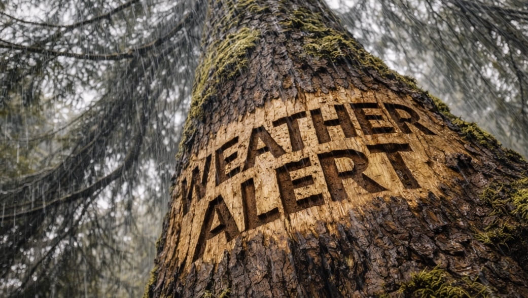
Residents should prepare for rapidly changing conditions, especially when traveling through elevation changes, and monitor local alerts for sudden winter weather impacts.
This variable spring pattern is expected to persist through April, with additional advisories possible as conditions shift across the Rockies.

