
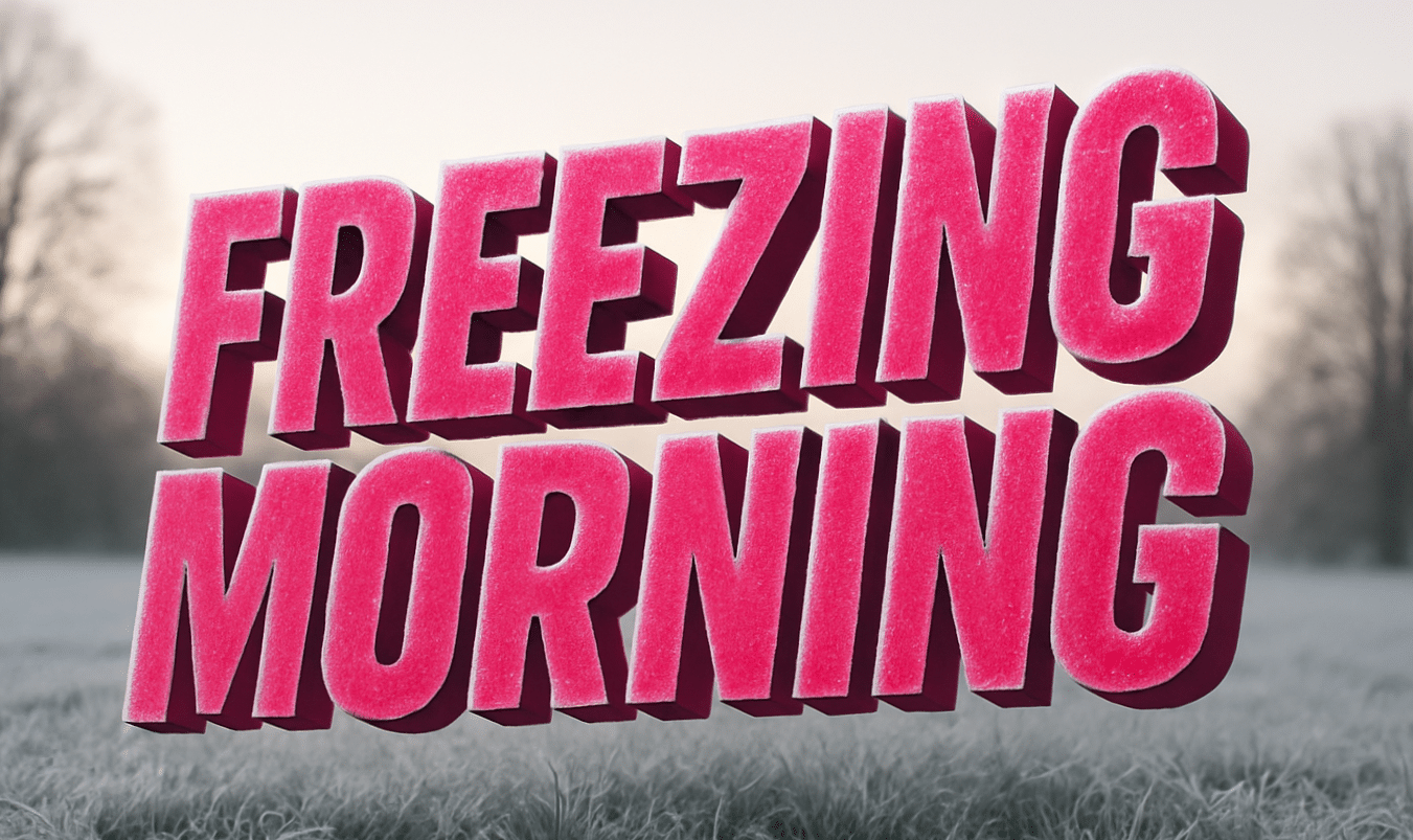
Rhode Island – A sharp chill grips the morning air as frost clings to parked cars and breath hangs briefly above sidewalks. Streets look dry at first glance, but shaded spots stay slick after a night near freezing. Winter feels firmly in place as holiday travel plans take shape.
According to the National Weather Service, early snow mixes with rain at times today, especially across Providence and surrounding communities. Accumulation stays limited, but temperatures hovering in the 30s mean untreated surfaces can turn slippery quickly. Fog may also reduce visibility during the morning drive.
Conditions improve midweek as sunshine returns and temperatures rise into the upper 30s and low 40s. That break is brief. Colder air settles back in Wednesday night, dropping lows into the low 20s and setting up a harder freeze across northern Rhode Island and nearby Massachusetts border towns.
Attention turns to Friday as snow chances increase during the afternoon and evening. Light snow may begin before sunset, then grow steadier into the night. Even modest snowfall can slow travel along I-95, Route 6, and local streets as post-Christmas traffic builds.
Friday night appears colder, with lows near 20 degrees. That creates a higher risk of snow-covered roads and black ice lingering into Saturday morning. Drivers should plan extra time, reduce speed, and watch bridges closely, where freezing happens first.
Christmas Day itself stays mostly quiet but cool, offering manageable travel before the next round of winter weather arrives. Looking ahead, snow chances linger into Saturday, reinforcing a wintry pattern heading into the final week of December.
Winter conditions remain fluid, and additional alerts may be issued as timing sharpens.
Five-Day Outlook for Providence, Rhode Island
• Today: Snow changing to rain, patchy fog. High near 36.
• Wednesday: Mostly sunny. High near 40.
• Christmas Day: Mostly cloudy. High near 39.
• Thursday Night: Colder, partly cloudy. Low near 16.
• Friday: Snow develops late. High near 26.

