
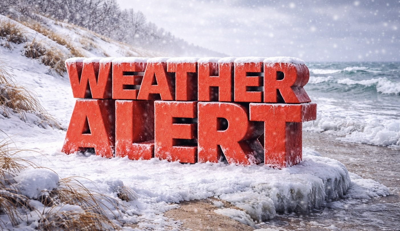
Chicago, Illinois – Lake effect snow is creating hazardous travel conditions in northwest Indiana through Monday.
According to the National Weather Service in Chicago, a Winter Weather Advisory remains in effect for Porter County until noon CST Monday. Forecasters say lake effect snow will bring an additional 2 to 4 inches in the most persistent snow bands, with locally higher totals possible.

The heaviest accumulations are expected mainly east of State Road 49 and north of U.S. Route 30. Winds near the lakeshore could gust between 35 and 40 mph, leading to areas of blowing and drifting snow tonight into Monday.
Officials warn that roads, especially bridges and overpasses, will become slick and hazardous in spots. Visibility may change rapidly as lake effect bands shift, with moderate to locally heavy snow falling just miles from dry conditions.
The worst travel conditions are expected this evening into Monday morning, potentially affecting the Monday commute. Commuters, including students and early-shift workers, could encounter sudden reductions in visibility and icy stretches of roadway.
Drivers are urged to slow down and use caution while traveling. The latest Indiana road conditions are available at 511in.org.
Lake effect snow can vary significantly over short distances, and forecasters emphasize that conditions may change quickly.
This article was produced by a journalist and may include AI-assisted input.
All content is reviewed for accuracy and fairness.
Follow us on Instagram & Facebook and support local independent news.
Have a tip? Message us.

