
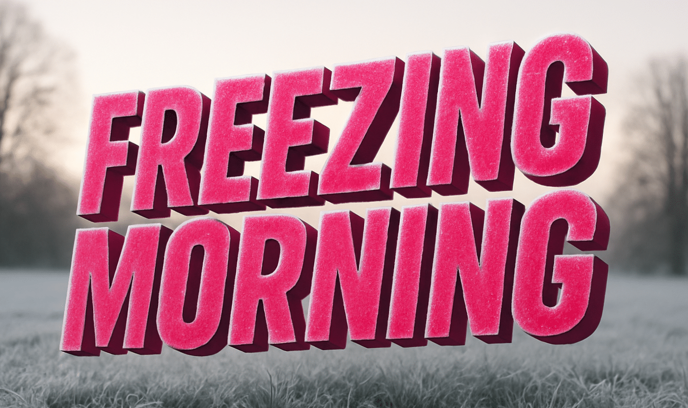
Pennsylvania – Steel-gray skies hang low this morning as cold air settles into river valleys and frost clings to parked cars. The first Monday of 2026 begins with a sharp winter bite in western Pennsylvania, setting up a dramatic weather shift by midweek.
According to the National Weather Service, Pittsburgh started the morning near 23 degrees, with wind chills in the teens. Skies turn partly sunny today, allowing temperatures to recover into the low 40s. Even so, untreated sidewalks and shaded roads may remain slick early, especially near bridges and river crossings.

School traffic and the morning commute require extra caution. Drivers along I-376, I-279, and Route 28 should watch for black ice lingering into mid-morning. Conditions improve gradually as sunshine works in and temperatures climb.
Tonight stays mostly cloudy, with lows near 32. Tuesday marks a notable change. Rain develops during the afternoon and evening as highs surge into the low 50s. Winds increase at times, adding a raw feel despite the warmer air. Roads turn wet quickly, and visibility may drop during heavier showers.
Rain continues Tuesday night before tapering early Wednesday. Wednesday stays mostly cloudy but calmer, with highs in the mid-40s. To be fair, that brief cooldown doesn’t last long.
By Thursday, sunshine returns and temperatures rebound into the mid-50s. Another round of rain becomes likely Thursday night into Friday, with highs soaring into the low 60s. That warmth feels unusual for early January 2026 and may accelerate snowmelt in surrounding hills.
Winter isn’t finished, but this week delivers rapid changes. Slow down during cold mornings, plan for wet roads later, and stay alert as conditions evolve. How cold did it feel on your commute today?
Five Day Outlook for Pittsburgh, PA
- Monday: Partly sunny, high near 43
- Tuesday: Rain developing, high near 51
- Wednesday: Mostly cloudy, high near 45
- Thursday: Mostly sunny, high near 55
- Friday: Rain likely, high near 61

