
Pennsylvania — Water is creeping higher along the North Shore this morning, pooling near the riverwalk as the Ohio River pushes toward minor flood stage in Pittsburgh.
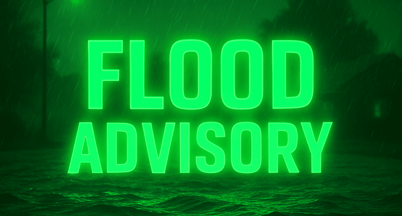
According to the National Weather Service in Pittsburgh, a Flood Advisory remains in effect until Sunday afternoon for the Ohio River at Pittsburgh. The river stood at 18.8 feet early this morning and is expected to crest near 19.5 feet later today. Bankfull stage is 18 feet. At 19 feet, water begins to flow onto the North Shore Riverwalk between the stadiums. At 20 feet, the Monongahela Wharf becomes completely flooded.

Low-lying spots near Point State Park and along the Three Rivers Heritage Trail may see standing water. Drivers should avoid water-covered roads and never attempt to cross barricades. Conditions can change quickly along riverbanks.
While flooding continues, winter weather returns to the conversation. A chance of snow develops after midday Sunday, possibly mixing with rain as highs reach the upper 30s. Snow becomes more likely Sunday night into Monday, though accumulations appear light for Pittsburgh. Still, wet pavement could refreeze after sunset, leading to flash freezing on bridges and elevated roads.
Plan extra time if traveling Monday morning. Slick patches may form where melting snow refreezes.
Skies trend mostly cloudy Tuesday with highs near 33. By midweek, temperatures rebound into the mid-40s with rain chances returning. The 6–10 day outlook signals a gradual warming trend, with above-normal readings hinting at early spring vibes by late next week.
Five-Day Outlook for Pittsburgh, Pennsylvania
Today: Partly sunny, high 47.
Sunday: Snow chance after 1 p.m., high 38.
Monday: Snow likely early, high 36.
Tuesday: Mostly cloudy, high 33.
Wednesday: Chance of rain, high 45.

