PITTSBURGH, Pa. – Damp leaves, a low ceiling of clouds, and the chill of late fall mark a shifting pattern across western Pennsylvania as another round of rain builds to the west. The region will turn wet and breezy late Thursday into Friday morning, just in time to complicate early Halloween plans before drier air pushes in.
According to the National Weather Service in Pittsburgh, showers begin after dark Thursday and continue through early Friday. Rain could be briefly heavy in spots, with gusts topping 25 mph along the ridges and higher elevations east of I-79. Temperatures stay mild through the rain, holding in the mid-50s before dipping sharply Friday night as the front exits.
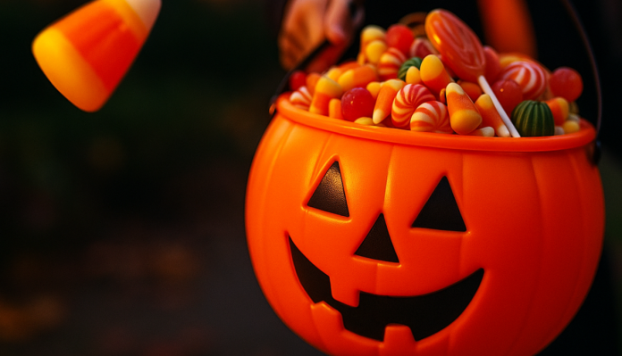
For trick-or-treaters Friday evening, conditions look breezy but largely dry. Cloud cover will break at times, and temperatures near 53°F will feel brisk under a northwest wind. Families should plan layered costumes and keep flashlights handy for damp or leaf-slick sidewalks.
The weekend brings a welcome cooldown, with Saturday highs in the mid-50s and clearing skies for outdoor events and football tailgates. Sunday stays seasonable and partly sunny before another weak system approaches early next week.
Drivers along I-79, the Parkway East, and Route 22 should plan for slower travel Thursday night through Friday morning due to reduced visibility and wet pavement.
After all, the region’s first November chill is right on schedule — a reminder that Pittsburgh’s true winter is just around the bend.
Five-Day Forecast for Pittsburgh, PA:
Wed: 57/45 – Increasing clouds; patchy frost early.
Thu: 56/42 – Showers develop; breezy with steady rain late.
Fri: 53/39 – Clouds early, then breezy; drier Halloween evening.
Sat: 54/38 – Partly sunny; crisp, cool fall air.
Sun: 54/38 – Mix of sun and clouds; early November chill builds.


