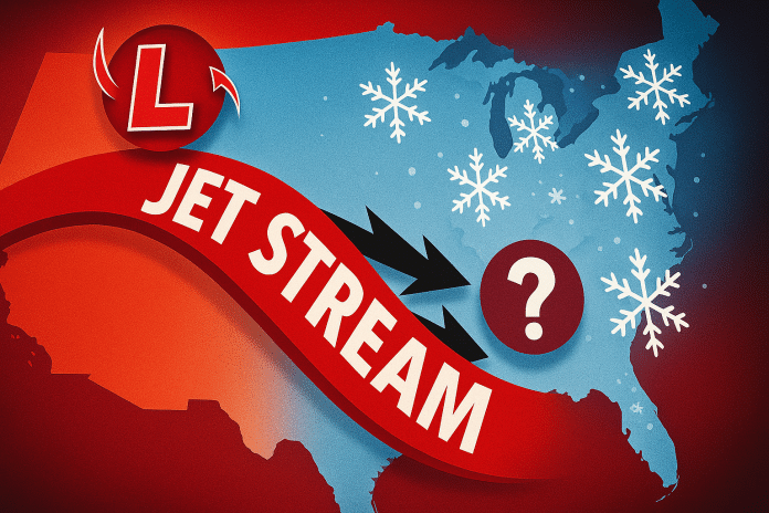
Pittsburgh, PA – Pennsylvania residents are being urged to stay alert as a series of Alberta Clippers may bring pop-up snowstorms every other day from Saturday, December 7, through Friday, December 13, according to early forecasts. The pattern may produce recurring travel difficulties across western and central Pennsylvania and into the broader Mid-Atlantic.
According to the National Weather Service (NWS), several fast-moving clipper disturbances will ride a strong northwest-flow pattern into the Great Lakes and Appalachians next week. These systems—often described collectively as the “Clipper Express”—can generate short bursts of snow, gusty winds, and abrupt temperature swings.
The first disturbance is expected Saturday night, with additional clippers possible in 48-hour intervals. While precise snowfall amounts remain uncertain, the NWS says even brief periods of snow may create slick roads during peak travel times across Pittsburgh, Allegheny County, and nearby communities.
Forecasters emphasize that the exact track of each clipper will determine which areas see accumulation. Northern and western Pennsylvania are more likely to see multiple rounds of snow, while central counties may experience localized bursts depending on how the systems evolve. Quick shifts in intensity and timing are possible through the December 7–13 window.
Travel impacts may extend from Erie and Bradford—where lake enhancement could boost totals—to Harrisburg, Altoona, and State College, where elevation changes can amplify snowfall under the right conditions. Portions of eastern Pennsylvania may also see impacts if clippers strengthen while crossing the Appalachians.
The NWS urges Pennsylvanians to monitor forecast updates closely as details sharpen through the week.


