
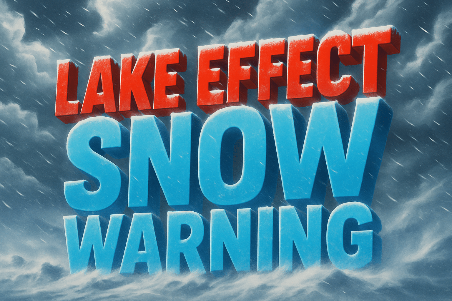
State College, PA – A Lake Effect Snow Warning remains in effect for northern Pennsylvania through 7 a.m. Monday, with additional snowfall and dangerously cold wind chills expected to make travel difficult to hazardous, according to the National Weather Service in State College.
The warning covers Warren and McKean Counties, including the cities of Bradford and Warren, where an additional 2 to 4 inches of snow is expected before snow showers gradually taper Monday morning. Forecasters say lake effect snow bands will remain active overnight, periodically reducing visibility and quickly covering roadways.

According to the National Weather Service, wind chills are expected to drop below zero today and remain that cold through tonight, significantly increasing the risk of frostbite and hypothermia for anyone exposed to the elements for extended periods. These conditions will compound already slick travel, particularly on untreated roads, bridges, and higher elevations.
Officials warn that hazardous conditions could extend into the Monday morning commute, especially during early travel hours when snow-covered roads and blowing snow may persist. Even brief bursts of heavier snowfall could lead to rapidly changing road conditions.
Motorists are urged to delay unnecessary travel if possible. Those who must be on the roads should drive slowly, allow extra stopping distance, and carry a winter emergency kit, including blankets, extra clothing, food, water, a flashlight, and a shovel.
The lake effect snow is being driven by cold air moving across the Great Lakes, a pattern known for producing localized but intense snow bands that can vary dramatically over short distances.
Conditions are expected to gradually improve later Monday morning as snow showers weaken, but officials stress that extreme cold will linger, keeping winter hazards in place even after snowfall ends.

