
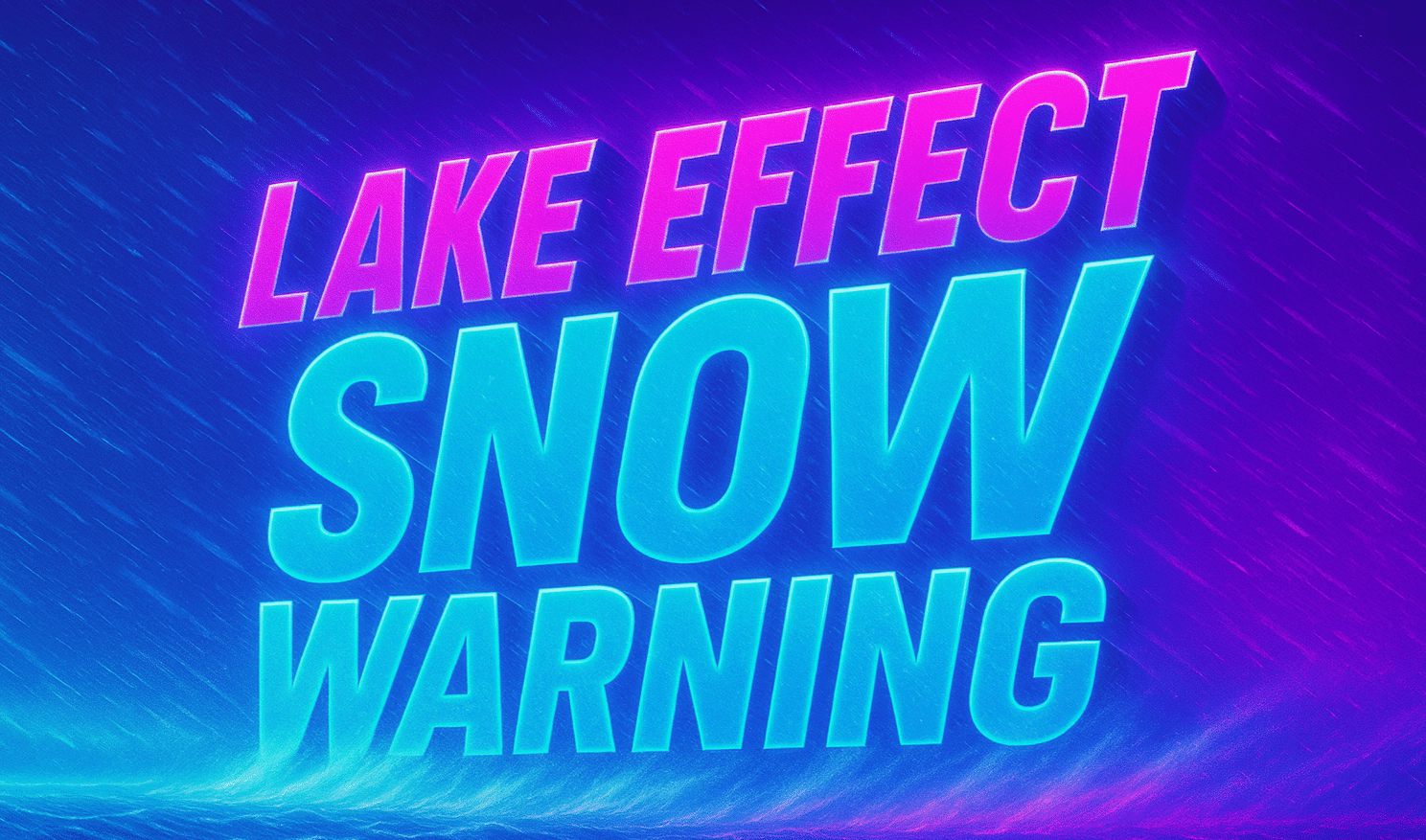
Pittsburgh, PA – A Lake Effect Snow Warning remains in effect overnight into early Monday for northwest Pennsylvania, with additional snowfall expected to create hazardous travel conditions for the Monday morning commute, according to the National Weather Service in Pittsburgh.
The warning applies to Mercer and Venango Counties and continues until 7 a.m. EST Monday. Forecasters say an additional 1 to 3 inches of snow is expected as persistent lake effect bands move through the region overnight.
According to the National Weather Service, the heaviest impacts will be felt in communities including Hermitage, Grove City, Sharon, Franklin, and Oil City, where snow-covered roads and reduced visibility could slow early-morning travel. Even lighter bursts of snow may quickly coat untreated roads, bridges, and overpasses.
Officials warn that slippery road conditions are likely, especially during the peak of the Monday morning commute. Drivers should allow extra travel time, reduce speeds, and increase following distance. The combination of cold temperatures and lingering snow showers may also allow ice to form in spots where melting occurs overnight.
The lake effect snow is being driven by cold air flowing across the Great Lakes, a setup that can produce narrow but intense snow bands capable of rapidly reducing visibility with little warning.
Residents who must travel are encouraged to keep an emergency kit in their vehicles, including a flashlight, food, and water. PennDOT advises checking road conditions before leaving home by calling 511 or using online traffic resources.
While snowfall totals are not expected to be extreme, officials stress that even a few inches can significantly impact travel when snow falls during overnight and early-morning hours.
Snow showers are expected to taper off later Monday morning as conditions gradually improve.

