
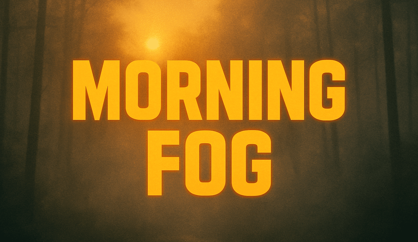
Oregon’s high desert is starting the day under a pale sky and biting cold in Pendleton. Temperatures dipped to 29 degrees early, and patchy freezing fog formed in low-lying areas. Headlights cut through thin mist along I-84, where slick spots may linger on bridges and shaded ramps.
The National Weather Service reports patchy freezing fog through mid-morning, followed by gradual clearing and a high near 44 degrees. Light winds keep the chill locked in early. Drivers should allow extra time and watch for black ice, especially where moisture from recent days refroze before sunrise.

Skies clear more this afternoon, but another cold night follows. Lows drop back to around 29 with patchy fog redeveloping late. That sets up another round of slick patches by daybreak. Sunshine returns Thursday with a high near 50, offering a brief February thaw.
Clouds increase Friday with highs near 49. A chance of rain develops Friday night and into Saturday. Weekend highs hold in the upper 40s, with rain chances around 40 to 50 percent at times. By early next week, a mix of rain and snow becomes possible as colder air filters back in. Snow levels hover above the valley floor but could impact higher terrain.
Looking ahead into the 6–10 day period, broader warming trends are expected to build across much of the country, signaling milder air later next week.
Five Day Outlook for Pendleton, OR:
Today: Freezing fog early, then mostly sunny, high 44.
Thursday: Mostly sunny, high 50.
Friday: Mostly cloudy, high 49.
Saturday: Chance of rain, high 47.
Sunday: Chance of rain, high 46.

