
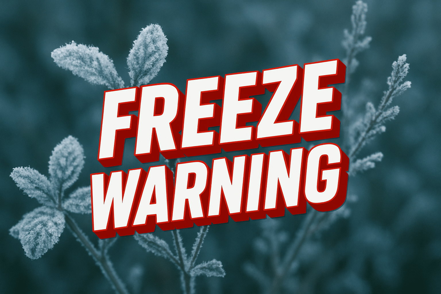
Paducah, KY – Bitter cold is set to tighten its grip on western Kentucky as dangerous wind chills return Friday and persist through Saturday night, impacting travel and outdoor activity across Paducah and surrounding areas, including major corridors like Interstate 24 and U.S. Route 60.
According to the National Weather Service in Paducah, temperatures will remain well below normal through the end of the week, with a fresh surge of colder air arriving late Friday. While winds will remain relatively calm through midweek, increasing winds Friday into Saturday will drive wind chill values down sharply, creating hazardous conditions.

Forecasters say daytime wind chills Friday and Saturday are expected to remain in the single digits, with minimum wind chills early Saturday morning ranging from -5 to -12 degrees across parts of western Kentucky, southern Illinois, and southeast Missouri. Areas near Paducah, including McCracken County and nearby stretches of I-24, could experience near-zero or subzero conditions for several hours.
The cold snap may pose risks for motorists, especially during early morning and overnight travel, when exposed skin can experience frostbite in as little as 30 minutes. Officials urge drivers to keep emergency supplies in vehicles, limit unnecessary travel during the coldest periods, and check on vulnerable neighbors.
Residents are also advised to protect pets, ensure proper heating indoors, and take precautions to prevent frozen pipes. Those working outdoors should dress in layers and take frequent breaks from the cold.
The coldest conditions are expected Friday night through Saturday night, with gradual improvement possible by Sunday afternoon.

