
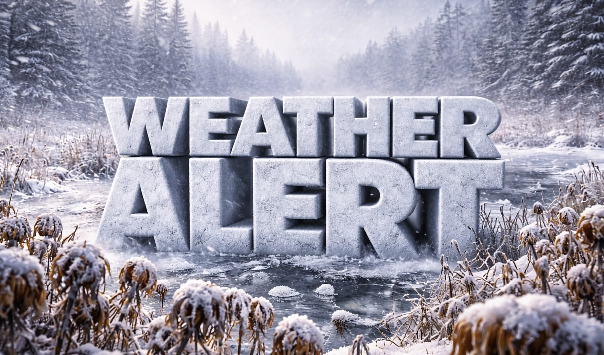
Eugene, OR – Frost coats lawns across Eugene this morning, and the air feels crisp at 32 degrees. Drivers are scraping windshields while gray clouds linger overhead.
As of mid-morning, Mahlon Sweet Field reports 32°F with overcast skies and a wind chill near 25 degrees. Widespread frost developed before 9 a.m., creating slick patches on untreated roads and shaded bridges.

Cold pavement can refreeze quickly this time of year.
According to the National Weather Service in Portland, today turns partly sunny with a high near 47 degrees. Calm winds shift southwest this afternoon. Rain develops late tonight, mainly after midnight, with a 60 percent chance of precipitation. Snow levels hover near 2,300 feet, limiting valley impacts but affecting higher Coast Range passes.
Saturday brings rain likely, mainly before 10 a.m., with highs near 54 degrees. A 50 percent chance of rain lingers Saturday night.
Conditions deteriorate by Sunday.
Rain becomes widespread Sunday with a 100 percent chance and highs near 52 degrees. Steady rain continues Sunday night into Monday, again with a 100 percent chance and highs near 52 degrees. Expect ponding on I-5 and Beltline Highway during heavier showers.
Plan extra time for weekend travel. Visibility may drop during steady rain.
Rain tapers to a chance by Tuesday, with highs holding near 52 degrees. A slight chance of showers lingers into midweek before gradual moderation.
While the immediate pattern stays cool and wet, longer-range guidance signals milder air building late next week into the 6–10 day window. Early hints of spring warmth are on the horizon.
Five-Day Outlook for Eugene:
Wednesday: Slight chance of rain, high 51°F
Saturday: Rain likely, high 54°F, low 41°F
Sunday: Rain, high 52°F, low 44°F
Monday: Rain, high 52°F, low 40°F
Tuesday: Chance of rain, high 52°F, low 35°F

