
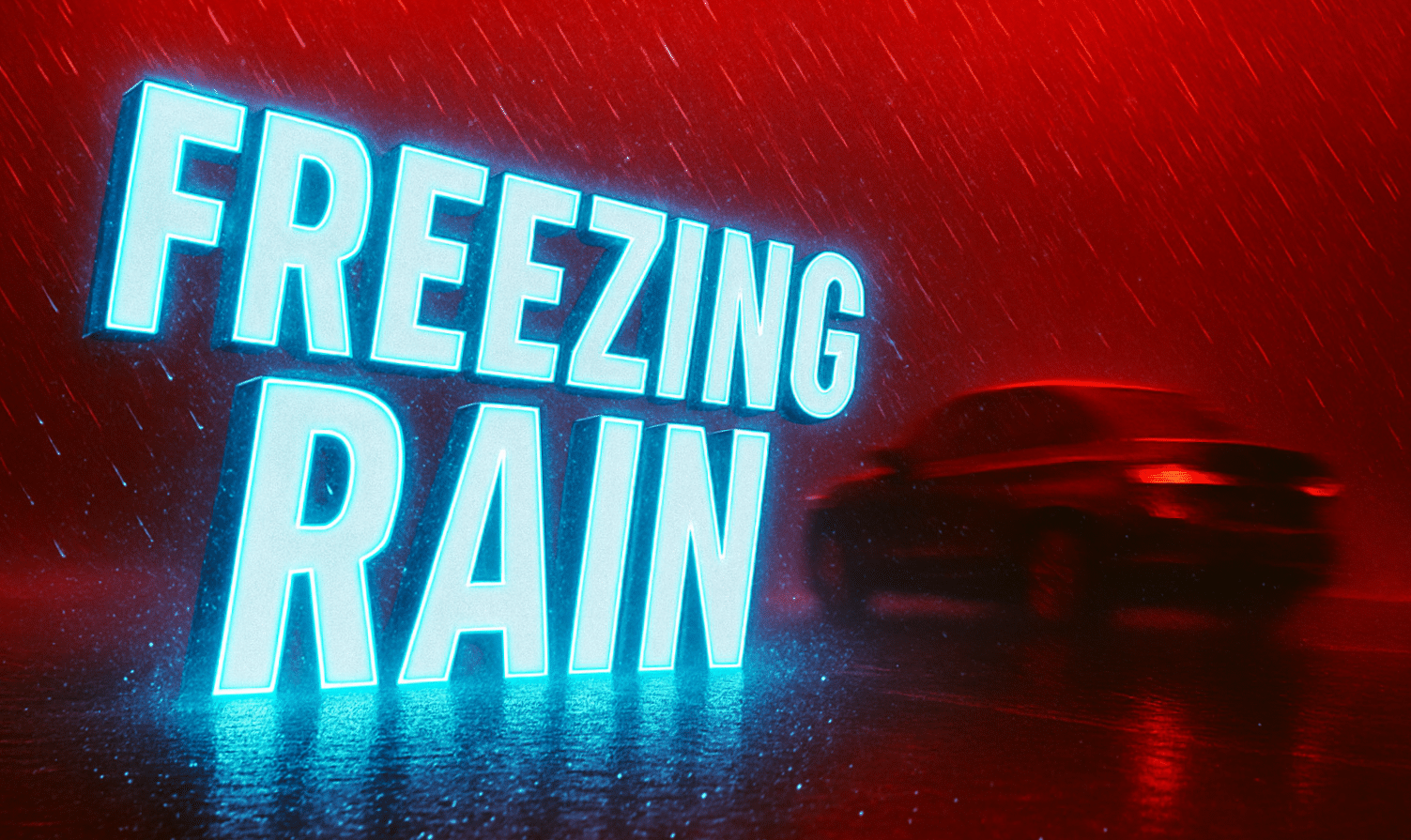
Pittsburgh, PA – A low but noteworthy chance of slick roads is expected this morning across portions of eastern Ohio and far western Pennsylvania, according to the National Weather Service (NWS) in Pittsburgh. Light freezing rain may briefly develop in the highlighted area south of Interstate 70 and west of Interstate 77, where road surfaces have not yet warmed above freezing.
According to NWS forecasters, precipitation arriving early today could fall as light freezing rain on elevated and untreated surfaces. Bridges, overpasses, and ramps pose the greatest risk for icing, even with only a minimal amount of frozen precipitation. The threat is most pronounced in areas from Zanesville to Cambridge and surrounding communities, where subfreezing temperatures linger during the early commute.
Farther north, the weather pattern supports a higher likelihood of sleet developing, while areas farther east may not see precipitation arrive early enough for freezing rain to occur. Forecasters expect temperatures to rise steadily through the morning, with most locations warming above freezing by around 10 a.m. As this happens, any wintry mix will turn to plain rain.
Even with a low chance of widespread impacts, NWS cautions commuters to remain alert for patchy slick spots, especially on elevated roadways where thin layers of ice can form quickly. Side roads and untreated surfaces may also become briefly slippery.
The remainder of the day is expected to feature periods of rain with gradually improving road conditions as temperatures climb.
Drivers traveling across eastern Ohio and into western Pennsylvania should use extra caution early this morning and allow additional travel time where necessary.

