
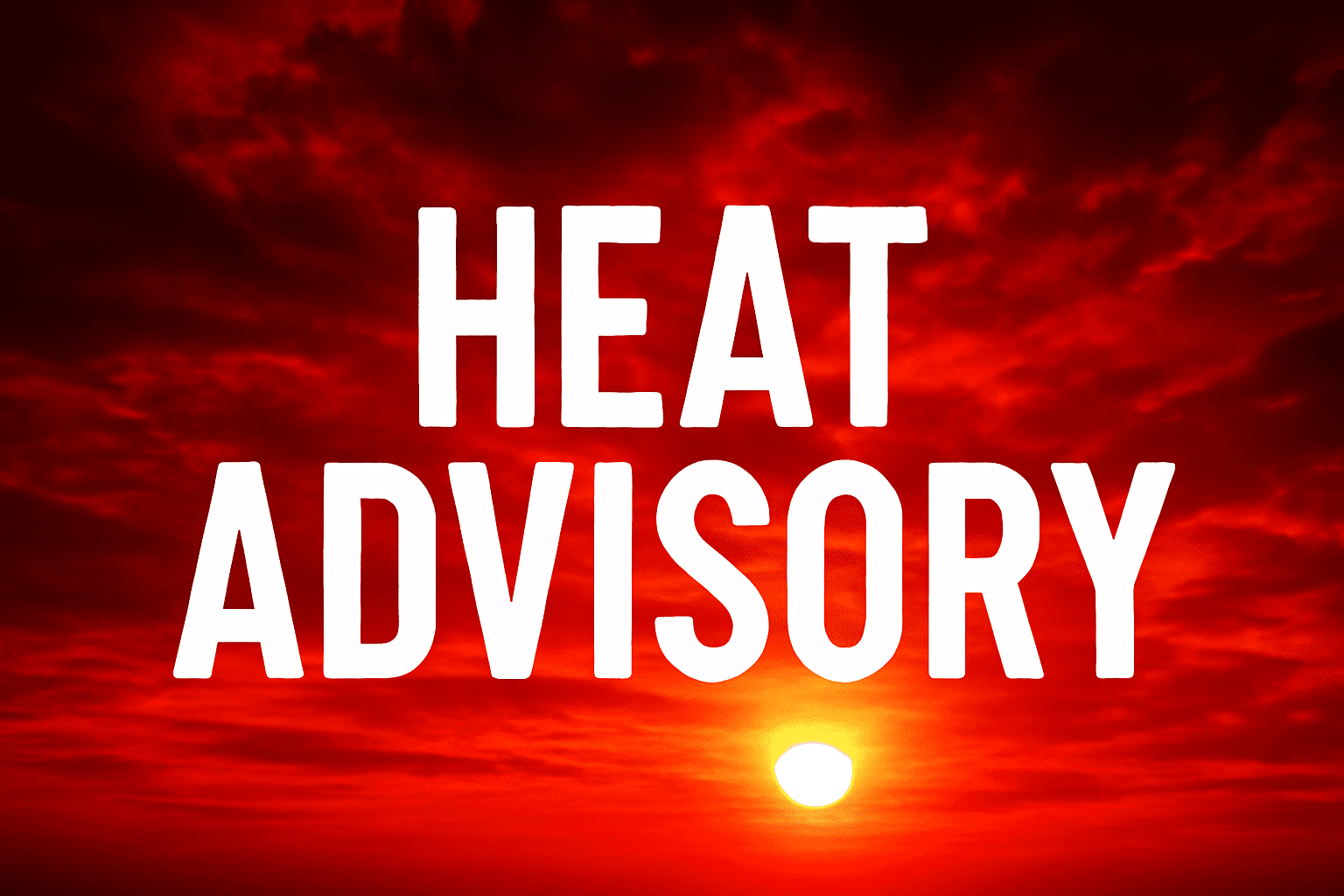
New York, NY – A dangerous combination of heat, humidity, and severe storms will blanket the entire New York metro area through 10 p.m. Thursday, putting millions under a Heat Advisory and raising the risk of heat-related illness and flash flooding.
According to the National Weather Service New York, heat index values will soar between 95 and 103°F, with afternoon highs in the upper 80s to lower 90s and overnight lows stubbornly holding in the 70s. Scattered severe thunderstorms could develop, especially from Wednesday evening into early Thursday, bringing the potential for localized flash flooding—particularly in low-lying areas and along roadways such as I-87, I-95, and sections of the Long Island Expressway.
Residents in New York City, Nassau, Suffolk, Westchester, and Rockland Counties should limit outdoor activity, stay hydrated, and check on vulnerable neighbors. Those without air conditioning are urged to seek cooling centers. Charge electronic devices now, as power outages are possible with isolated severe storms. The highest heat risk will occur between noon and 8 p.m., especially for those in urban areas.
This marks one of the season’s most significant heatwaves, rivaling late June’s record stretch. The threat may ease by Friday as heat indices drop, but additional advisories could be issued if conditions change.
Warnings remain in effect until 10 p.m. Thursday. Stay tuned for the latest updates from the National Weather Service.

