
MEADVILLE, Pa. – A prolonged lake-effect snow event is burying northwest Pennsylvania in fresh snow this Monday, creating dangerous travel conditions and localized power outages from wet, heavy accumulation. The National Weather Service in Cleveland reports 5 to 8 inches of additional snow through Tuesday afternoon, with bursts reaching 1 to 2 inches per hour in stronger lake bands.
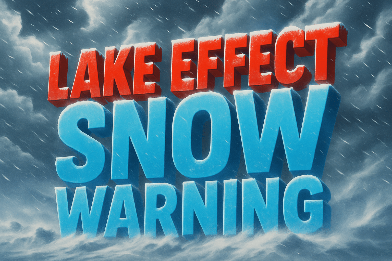
A Lake Effect Snow Warning remains in effect until 1 p.m. EST Tuesday for Southern Erie and Crawford Counties, including Meadville, Titusville, Corry, Union City, and Edinboro. The heaviest snow will continue through Monday night into early Tuesday, with strong northwest winds creating blowing snow and rapidly changing visibility.
Forecasters warn that roads—especially bridges and overpasses—will become slick and hazardous, complicating both the Monday evening and Tuesday morning commutes. Wet snow and gusty winds may bring down branches and cause scattered power outages, particularly where trees still carry leaves.
Officials urge drivers to delay unnecessary travel and keep emergency supplies in vehicles. The Pennsylvania Department of Transportation continues to treat major routes, including I-79 and U.S. 6, but conditions will remain poor under persistent snow bands.
Snow intensity will begin to taper by midday Tuesday as winds weaken and lake bands drift north.

