
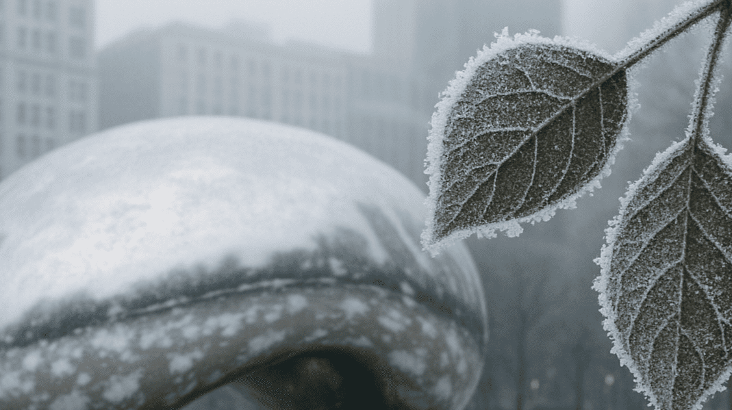
Chicago, Illinois – Isolated showers and a sharp cool-down will mark the start of the weekend across Illinois, with temperatures dipping into the 30s and 40s Friday night and the chance of patchy frost in northern counties by Saturday morning.
According to the National Weather Service Chicago, light rain will develop Friday—mainly west of I-39 and along I-80—before colder air funnels in near the Lake Michigan shoreline. Saturday’s highs will struggle to reach the mid-40s in some areas, especially in northern Illinois.
While Sunday offers full sunshine and milder highs near 70°F, residents should brace for a warm, windy Monday with a return to severe weather risk. The NWS warns that after-sunset thunderstorms could sweep through Monday evening, especially in central and eastern counties.
Drivers should watch for wet roads Friday and reduced visibility during any heavier showers. North suburban residents should prepare gardens or sensitive plants for Saturday morning frost. Looking ahead, make sure emergency kits are charged and ready before Monday night’s storms.
More updates are expected over the weekend as the severe threat on Monday becomes clearer.

