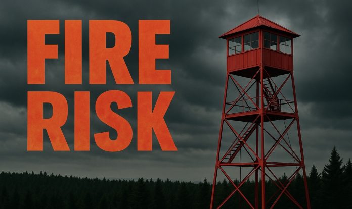
Spokane, WA – Fire officials are warning residents across the North Cascades and Columbia Basin of critical fire-weather conditions expected Thursday afternoon and evening.
According to the National Weather Service Storm Prediction Center, a mid-level jet stream moving onshore will create gusty west-to-northwest winds and very low humidity. Peak winds are forecast between 20–25 mph, with some gusts reaching 30–35 mph. Relative humidity could drop as low as 10–15%.
The threat is heightened by ongoing wildfires and fuel conditions near the 90th percentile for dryness. “These factors mean any spark could spread quickly,” forecasters said. The most dangerous window is expected between 2 p.m. and 8 p.m. Thursday.
Critical fire danger zones include eastern slopes of the North Cascades, Cascade gaps, and much of the Columbia Basin. Residents in these areas are urged to avoid outdoor burning, use caution with machinery, and prepare for rapidly changing fire conditions.
Elsewhere, forecasters say an upper-level low will bring thunderstorms to the Sierra Nevada, southern Great Basin, and Arizona. However, higher moisture levels are expected to reduce widespread fire-weather concerns in those regions.
This article was produced by a journalist and may include AI-assisted input. All content is reviewed for accuracy and fairness.
Follow us on Instagram & Facebook for more relevant news stories and SUPPORT LOCAL INDEPENDENT NEWS! Have a tip? Message us!


