
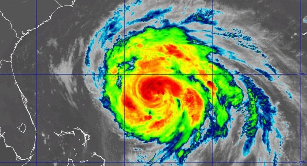
Morehead City, N.C. – Hurricane Erin is churning off the Southeast coast Thursday, sending life-threatening storm surge and flooding toward North Carolina’s vulnerable beaches from Hatteras to Ocracoke. The National Weather Service warns the storm’s massive size will push water onshore through multiple tide cycles, leaving roads impassable and damaging dunes.
According to the National Hurricane Center, water levels may rise 2 to 4 feet above ground in some low-lying areas, with the highest impacts expected on the oceanside from Ocracoke to Duck. The prolonged surge will likely shut down portions of N.C. Highway 12, especially on the Outer Banks, where waves could top dune lines.
In addition to flooding, tropical-storm-force winds will strengthen late Thursday, with gusts over 70 mph possible near the coast. Residents should prepare for scattered power outages, hazardous travel, and limited emergency access to barrier islands. Strong rip currents will make all beaches dangerous through the weekend.
Officials urge residents to avoid unnecessary travel, secure property, and heed evacuation notices where issued. Additional warnings remain possible as Erin continues to push north.

