
Raleigh, North Carolina – Scorching summer heat is about to put the Triangle on alert. Wednesday, July 30th will bring the highest heat index values of the season to Raleigh and central North Carolina, with health risks peaking in the afternoon along I-40 and across Wake County.
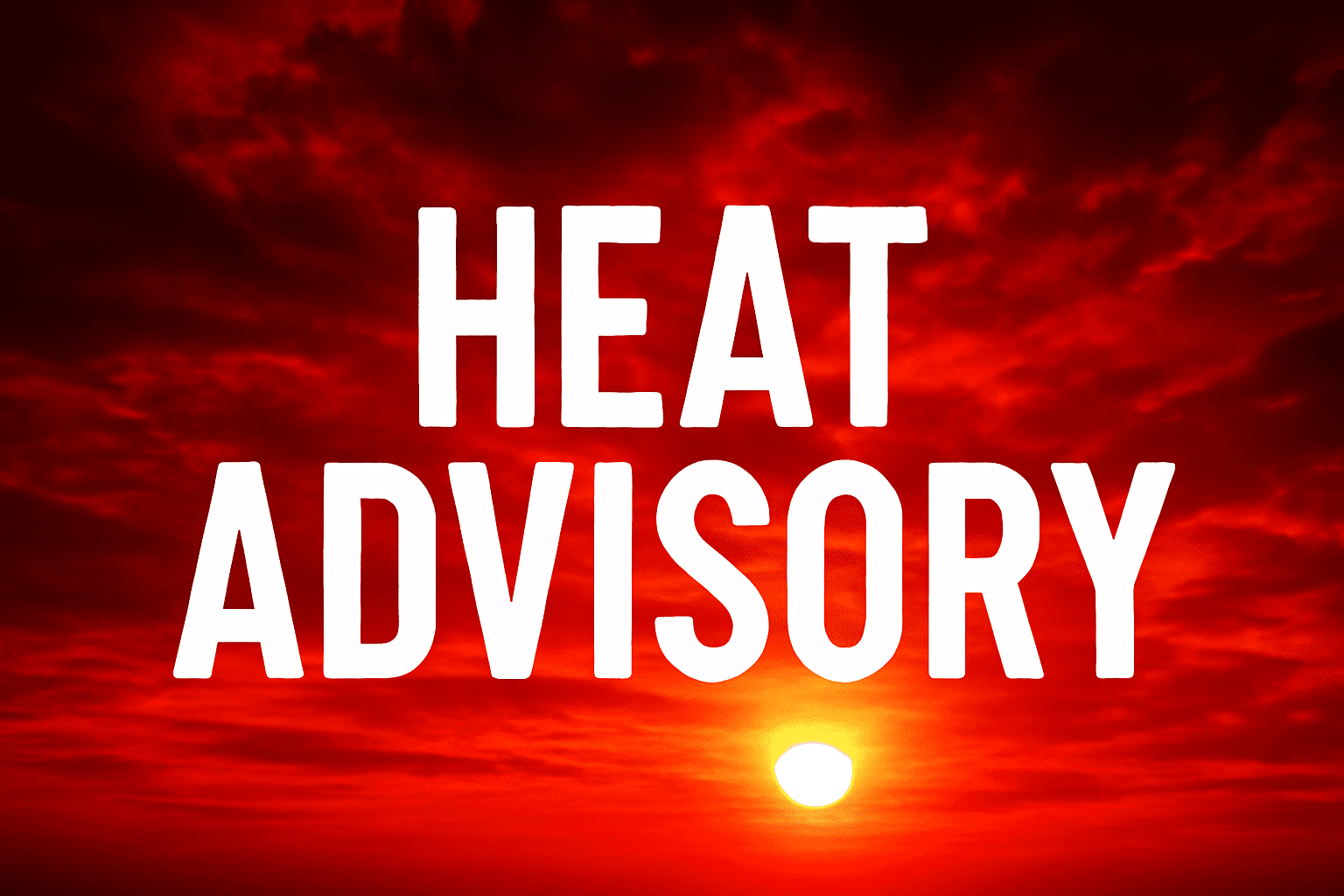
According to the National Weather Service in Raleigh, a Heat Advisory remains in effect from 10 a.m. to 8 p.m. Wednesday. Expect dangerous heat index values reaching up to 109°F, especially between noon and 6 p.m. Anyone working or spending time outdoors should take extra precautions, drink plenty of water, and try to stay inside air-conditioned buildings. Limit strenuous activity and never leave children or pets in vehicles.
Local impacts will be felt across the Triangle, including Durham, Chapel Hill, Cary, and areas along major corridors such as I-40 and US-1. Emergency management officials warn that high heat and humidity can quickly cause heat illnesses. Residents are urged to check on vulnerable neighbors and have backup power sources ready in case of outages.
Schools, daycares, and outdoor work crews should reschedule activities to early morning or evening hours. City services and cooling centers may open if needed. Similar heat events in recent years have led to scattered power outages and increased ER visits.
While Thursday may see a slight break with afternoon storms, the heat lingers. Expect the threat of summer storms to increase into Friday and Saturday, bringing some relief but also a risk for localized downpours.
Warnings remain in effect through Wednesday evening. Stay tuned to official alerts for any changes as the week continues.
Five-Day Forecast for Raleigh, NC
Wednesday, July 30th:
Mostly sunny, dangerously hot. High near 96°F. Heat index up to 109°F. Slight chance of thunderstorms late (20%).
Thursday, July 31st:
Partly sunny, slight chance of storms by afternoon, high near 93°F. Humidity remains high.
Friday, August 1st:
Chance of scattered storms. High around 87°F. Risk of heavy rain possible in the afternoon.
Saturday, August 2nd:
Partly cloudy, scattered showers possible early, then mostly sunny. High near 84°F.
Sunday, August 3rd:
Sunny and less humid. High near 83°F.
Monday, August 4th:
Mostly sunny and warmer. High around 85°F.
Prepare for another stretch of intense summer heat on Wednesday and keep an eye on the sky for storms as the weekend approaches.

