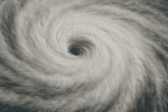
Cape Hatteras, N.C. – Hurricane Erin began a slow shift eastward early Thursday after battering buoys off the North Carolina coast with hurricane-force winds and towering seas overnight. The system, now a Category 2, remains a dangerous storm despite weakening, with waves measured near 45 feet and wind gusts topping 80 mph.
According to the National Weather Service in Wakefield, Virginia, buoy 41001 about 150 miles east of Cape Hatteras recorded peak gusts between 70 and 75 knots overnight as pressure dropped rapidly. While the storm is drifting away from the East Coast, forecasters warn that dangerous rip currents, high surf, and coastal flooding remain threats from the Outer Banks north into Virginia Beach.
Ferry operations along the North Carolina coast may face delays as swells continue to batter inlets, and portions of U.S. Highway 12 on Hatteras Island could see overwash during high tide. Farther north, officials in Ocean City, Md., urged swimmers to stay out of the surf, citing life-threatening rip currents.
Residents along the Mid-Atlantic shoreline should avoid unnecessary beach travel, keep devices charged, and remain alert for additional coastal flood advisories as Erin drifts offshore. Conditions are expected to slowly improve by late Thursday into Friday, though warnings remain in effect until seas subside.


