
Binghamton, NY – A powerful lake-effect snow band is expected to develop later Thursday evening across central New York, bringing the potential for heavy snowfall rates and dangerous travel conditions through Friday night.
According to the National Weather Service in Binghamton, a west-to-east oriented lake-effect snow band will form east of Lake Ontario after 5 p.m. Thursday, initially impacting northern Oneida County before gradually shifting south.

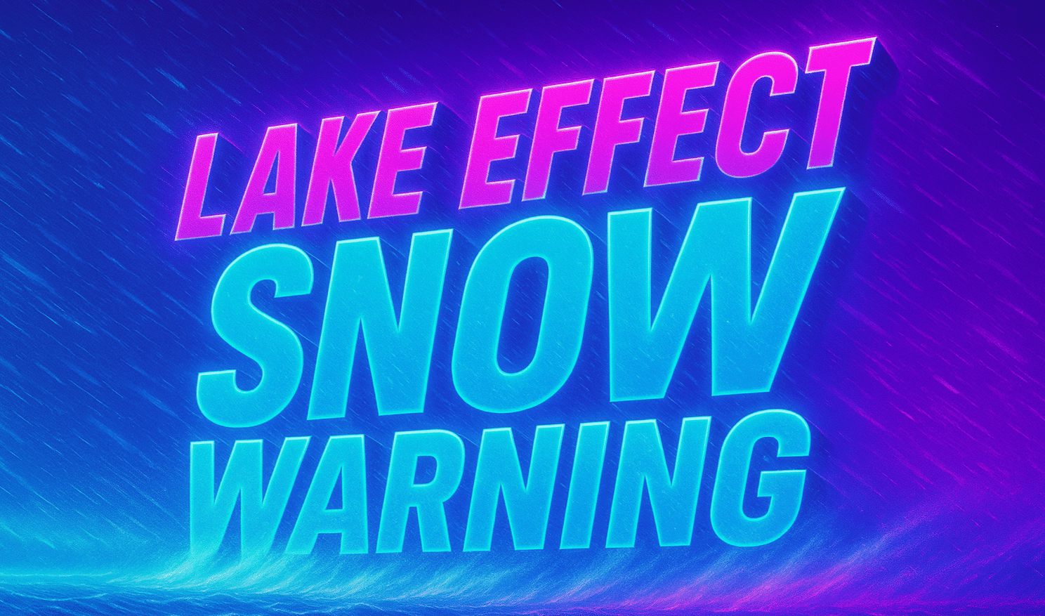
A Lake Effect Snow Warning has been issued for northern Onondaga and northern Oneida counties, where significant accumulations are expected through 7 a.m. Saturday. Snowfall rates could reach 1 to 2 inches per hour, especially overnight tonight into Friday afternoon.
Forecast snow totals through Saturday morning show the highest amounts—12 to 24 inches—possible in parts of northwestern Oneida County, including areas near Camden, Florence, and Brewerton. Portions of northern Onondaga County, including communities north of Syracuse, could see 8 to 18 inches, with sharp cutoffs just south of the main band.
Forecasters caution that snowfall amounts may vary significantly over short distances due to the narrow nature of lake-effect bands. There remains uncertainty over how far south the band shifts Friday, though it could approach the New York State Thruway corridor at times.
The most intense snow is expected overnight tonight through Friday afternoon, before the band lifts north and weakens early Saturday morning.
Drivers are urged to avoid unnecessary travel during peak snowfall periods, as visibility may drop rapidly and roads could become snow-covered within minutes.
Residents should closely monitor updates from the National Weather Service, as small shifts in wind direction could dramatically change snowfall totals.

