
New York – Gray clouds hang low over the Southern Tier this morning as cold air presses in and breath turns visible. The pavement feels stiff underfoot, and untreated roads stay unforgiving with temperatures stuck in the low 20s. This is the kind of cold that punishes early drivers and rewards preparation.
According to the National Weather Service, highs today climb only into the mid-30s around Binghamton with light winds but occasional gusts. Even limited sunshine will struggle to warm shaded areas. Drivers should expect cold tires, slower braking, and lingering slick spots on bridges and ramps along Route 17 and I-81.
Sunday stays cold and mostly quiet. Afternoon temperatures hover near 35, followed by another sharp drop at night. Lows dip near 20, cold enough for refreezing wherever daytime melting occurred. That sets the stage for early winter trouble spots before sunrise.
Attention turns to Monday night as moisture returns. Snow showers become likely after midnight with precipitation chances rising toward 60 percent. Accumulation looks light for now, but even a dusting can create quick hazards during the morning commute. Meteorologists are watching for a possible rain-to-snow changeover Tuesday as temperatures climb into the low 40s, then cool again later.
This warm-and-cold pattern raises flash-freeze concerns. Wet roads during the day may turn slick again after dark, especially in higher elevations outside the city. Residents should plan extra travel time, keep windshield fluid topped off, and check local alerts frequently.
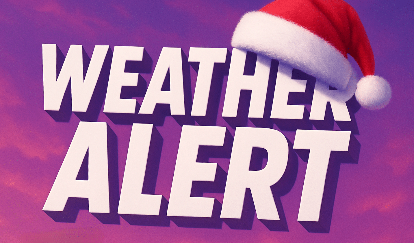
Looking ahead to Christmas travel, this feels like a true winter transition. Conditions may change quickly, and small temperature shifts could mean snow instead of rain. Traveling soon or staying local? How are roads looking in your area this morning?
Five Day Outlook – Binghamton, New York
- Today: Partly sunny. High near 36.
- Sunday: Partly sunny and cold. High near 35.
- Monday: Mostly sunny. High near 34.
- Tuesday: Rain and snow showers possible. High near 42.
- Wednesday: Partly sunny and colder. High near 37.

