
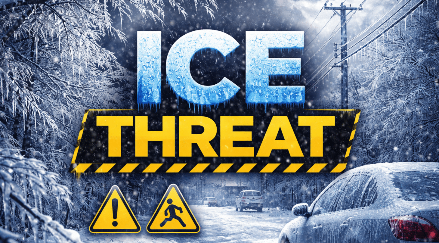
New York, NY – A Winter Weather Advisory is in effect Tuesday evening through early Wednesday, with light ice accumulation expected to create hazardous travel conditions across parts of the Lower Hudson Valley and southern Connecticut.
According to the National Weather Service in New York, the advisory begins at 6 p.m. Tuesday and remains in effect until 6 a.m. Wednesday. Forecast models indicate a glaze of ice up to 0.02 inches, along with light snow accumulation generally under 1 inch, particularly north of New York City.

The highest impacts are expected along key travel corridors including Interstate 84, Interstate 87, Interstate 95, and state routes such as Route 7 and Route 9, where untreated bridges, ramps, and secondary roads may become slick during the overnight hours. Snow totals of 0.2 to 0.9 inches are forecast from portions of the Lower Hudson Valley into southern Connecticut, including areas near Danbury, Waterbury, Norwich, and New Haven.
Ice accumulation is forecast to be light but impactful, especially as surface temperatures hover near freezing. Even minimal icing may significantly reduce traction during the late evening and early morning commute window.
The National Weather Service notes that precipitation will likely transition between snow and freezing drizzle, increasing the risk of patchy black ice. Conditions may deteriorate quickly after sunset as road temperatures drop.
Motorists are urged to use caution, reduce speeds, and allow extra travel time, particularly during overnight and early morning hours. Public works crews may pretreat major roadways, but localized slick spots are expected.
Students, early-shift workers, and overnight commuters should closely monitor local conditions before travel.

