
New York wakes to crisp air and damp pavement as Winter tightens its grip ahead of Christmas travel.
Cold sidewalks glisten under streetlights, and drivers already feel the season shifting gears.
According to the National Weather Service, a series of systems will reshape conditions through the weekend, with growing attention on Saturday travel after Christmas. Temperatures hover near 40 degrees early, but subtle changes now could matter later.
Winds strengthen through the day, pulling in drier air before clouds increase again. By Christmas Day, moisture returns. Light rain may mix with snow during the afternoon, especially north and west of the city. While accumulations remain limited, timing matters for anyone traveling.
Meteorologists are now tracking a developing system expected to arrive late Friday. That system brings the highest concern so far. Snow becomes increasingly likely Friday evening and continues into Saturday morning. Current guidance shows a 100% chance of precipitation Friday night, with snow favored as temperatures dip near freezing.
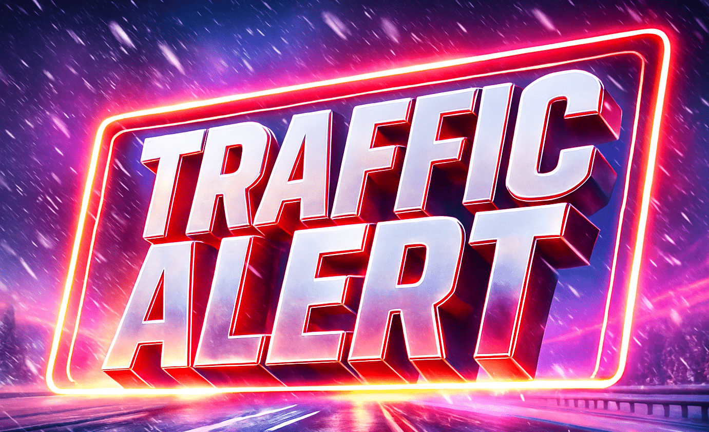
Roads may turn slick quickly. Melting during daylight could refreeze after sunset, raising the risk of black ice. Bridges, ramps, and untreated roads will be the first to freeze. Plan extra time if heading out Saturday, especially early.
To be fair, this is not shaping up as a blockbuster storm. Still, even light snow can snarl post-holiday travel. Visibility may drop at times, and slushy patches could linger into midday Saturday.
This pattern fits a broader national picture. While record warmth stretches across parts of the country into early 2026, winter weather continues asserting itself across the Northeast. That contrast often sharpens impacts.
5-Day Outlook (New York, NY):
- Today: Breezy, mostly sunny, high near 43
- Christmas Day: Chance rain/snow mix, high near 44
- Thursday: Mostly cloudy, colder, high near 31
- Friday: Chance of snow late, high near 31
- Saturday: Snow likely early, high near 34

