
Buffalo, NY –
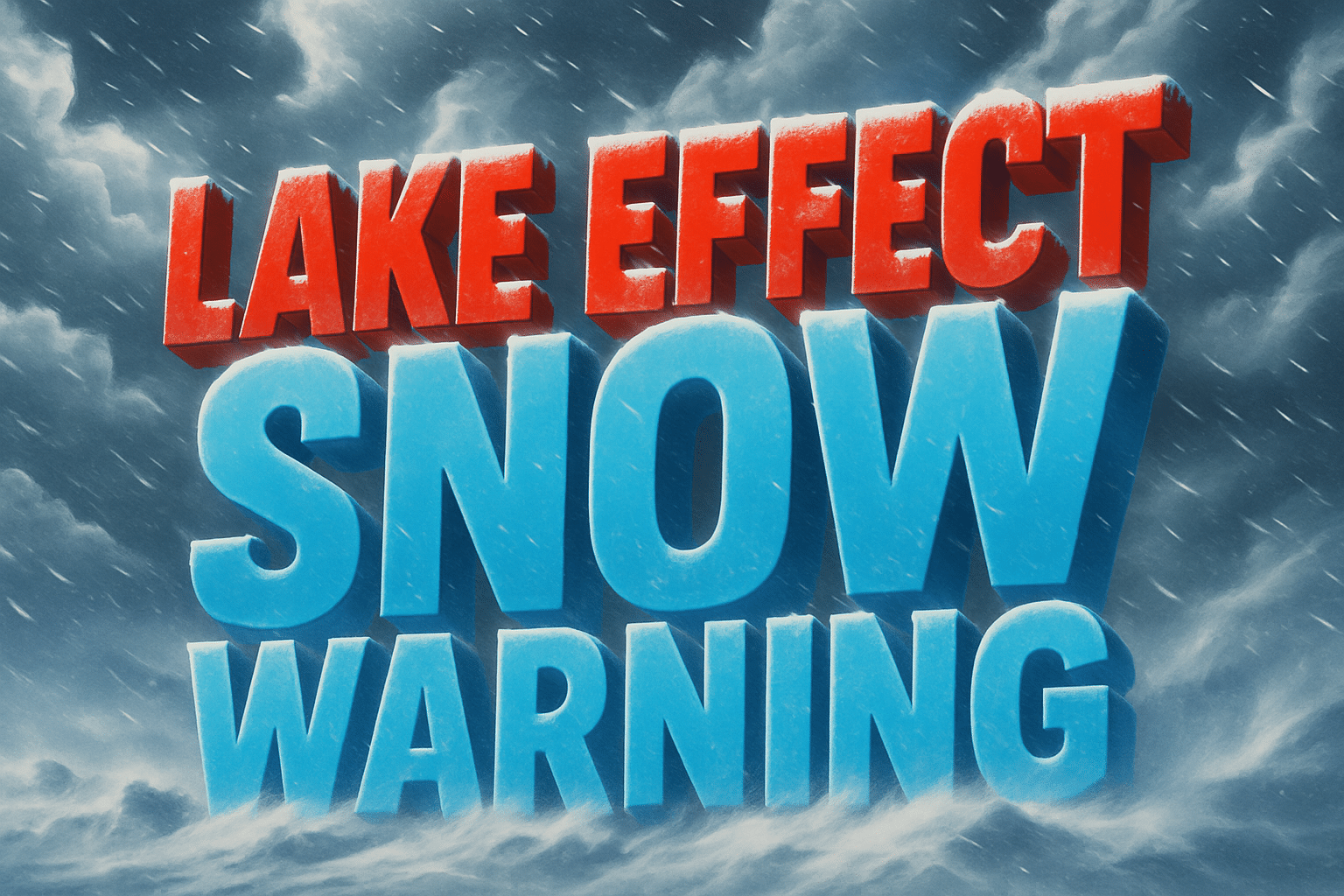
A powerful and prolonged lake effect snow event is underway across western and central New York, with multiple Lake Effect Snow Warnings in effect through Sunday or early Monday, bringing the potential for dangerous travel and significant snow accumulations.
According to the National Weather Service in Buffalo, the most severe impacts are expected in Oswego County, where 10 to 20 inches of additional snow could fall before the warning expires at 4 p.m. Sunday. Forecasters warn snowfall rates could reach 3 to 4 inches per hour, creating near-zero visibility and rapidly deteriorating road conditions.

Elsewhere, Chautauqua, Cattaraugus, and southern Erie counties are expected to receive 6 to 12 inches of snow through 7 a.m. Monday, particularly across the Chautauqua Ridge and Boston Hills. These snow bands are expected to remain south of the Buffalo Southtowns, though conditions may change rapidly over short distances.
Additional warnings include Jefferson and Lewis counties, where 7 to 14 inches of snow are forecast from Saturday afternoon through Sunday afternoon, and northern Cayuga County, where 7 to 14 inches may fall between Sunday morning and early Monday, with snowfall rates potentially reaching 2 to 3 inches per hour.
Winds gusting up to 35 mph will cause blowing and drifting snow, further reducing visibility. Officials warn that travel may become very difficult to dangerous, especially during the heaviest snow bands, which can shift quickly.

