
New York, NY – Rain taps steadily on pavement across the city right now, with slick streets and reduced visibility already slowing the midday pace. Expect damp sidewalks, misty air, and pockets of fog to linger through the early afternoon commute.
According to the National Weather Service, showers continue with an 80% chance of precipitation and northeast winds near 15 mph. Temperatures hover in the upper 40s but may dip slightly as clouds hold firm across the region.

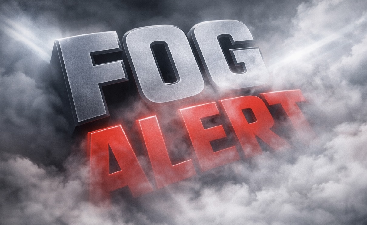
Across Manhattan, Brooklyn, and Queens, wet roadways are creating longer travel times on FDR Drive and the Brooklyn-Queens Expressway. Visibility may briefly drop in fog-prone areas near the Hudson River and low-lying streets. Keep headlights on and allow extra braking distance.
Conditions improve slightly heading into Friday. Light drizzle and patchy fog may linger early, but skies begin to brighten by late morning. Temperatures surge to near 66°F by afternoon, offering a brief spring preview. To be fair, it won’t last long.
By Saturday afternoon, clouds return with a 30% chance of showers after 2 p.m. Outdoor plans may still work early, but keep an umbrella nearby. Rain chances increase Saturday night into Sunday, when a widespread soaking rain (90% chance) could disrupt travel and outdoor events citywide.
Looking ahead, drier and cooler air moves in early next week, with sunshine returning by Monday and Tuesday. Another update may be issued as Sunday’s rain approaches. Traveling this weekend? Expect delays and plan ahead.
Five Day Outlook for New York City, NY
Friday: Morning fog, then partly sunny, high near 66°F
Saturday: Partly sunny, showers possible after 2 p.m., high 67°F
Sunday: Steady rain likely, high 65°F
Monday: Mostly sunny, cooler, high 54°F
Tuesday: Sunny and crisp, high 51°F

