
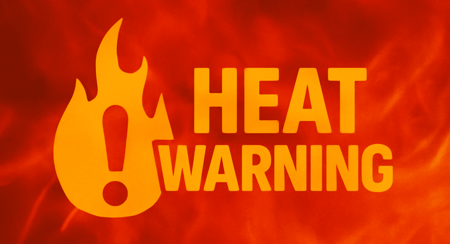
Nashville, Tennessee – Tennessee’s brief break from storms is ending with a dangerous heat surge that will push temperatures near triple digits through Monday.
According to the National Weather Service in Nashville, rain chances across Middle Tennessee sharply decline after Thursday, but a high-pressure ridge will send temperatures soaring. By Friday, August 15, Nashville could see a heat index as high as 105°F, with actual highs reaching 95°F and rising to 99°F by Sunday.
Cities including Clarksville, Nashville, and Crossville will experience steadily increasing heat with rain chances dropping below 10% by Saturday and Sunday. Expect dry, mostly sunny skies and calm winds, especially along major routes like Interstate 40, where heat can intensify pavement and vehicle temperatures.
Take action now:
- Limit outdoor activity between 11 a.m. and 4 p.m.
- Stay hydrated and use air conditioning
- Check on elderly neighbors and pets
This heat pattern follows several days of scattered storms, but relief is not in sight until next Wednesday, when a weak front may trigger isolated showers.
No heat advisories have been issued yet, but conditions may warrant alerts as early as Friday afternoon, especially in urban centers where heat retention is stronger.
Five-Day Forecast | Nashville, TN
- Friday, August 15 – Mostly sunny, High: 95°F, Heat Index: 105°F, Calm wind
- Saturday, August 16 – Sunny after patchy fog, High: 98°F, Northeast wind 5 mph
- Sunday, August 17 – Hot, High: 99°F, Calm wind becoming north at 5 mph
- Monday, August 18 – Sunny and hot, High: 100°F, Calm wind becoming northeast at 5 mph
- Tuesday, August 19 – Sunny, continued heat, High: 100°F, Heat index 104°F

