
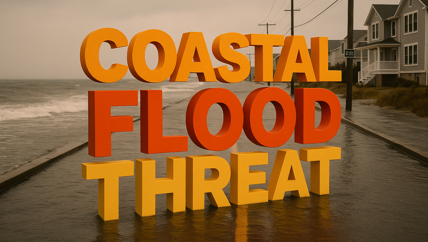
Nags Head, North Carolina — Major coastal flooding is likely along the Outer Banks through Sunday as storm-force winds and astronomical high tides combine during a powerful coastal winter storm, threatening roadways, homes, and businesses in low-lying areas.
According to the National Weather Service Weather Prediction Center, onshore winds gusting over 60 miles per hour will coincide with high tide cycles from the Outer Banks northward to the Virginia Capes. This combination is expected to produce significant coastal flooding, particularly in vulnerable communities along barrier islands.

Officials warn that portions of North Carolina Highway 12 could become flooded or impassable at times, especially during peak high tides late Saturday night and again Sunday morning. Road closures are possible as ocean overwash and sound-side flooding spread into travel corridors.
The Weather Prediction Center notes that coastal flooding impacts may include flooded businesses and homes in low-lying areas, along with beach erosion and damage to dunes. Strong wave action and prolonged onshore flow may worsen erosion, particularly in areas already weakened by previous storms.
Power outages are also possible as strong winds stress power infrastructure near the coast. Emergency managers urge residents and visitors to secure property, avoid driving through flooded roads, and monitor local advisories closely.
This coastal flooding threat is part of a broader winter storm affecting much of the eastern United States. While heavy snow and near-blizzard conditions are impacting areas farther inland, coastal communities face the greatest risk from wind-driven water and storm surge effects.
Travel is strongly discouraged during high tide periods, especially for overnight workers, early-morning commuters, and service employees. Conditions are expected to gradually improve later Sunday as winds ease, though lingering flooding and erosion impacts may persist into the afternoon.

