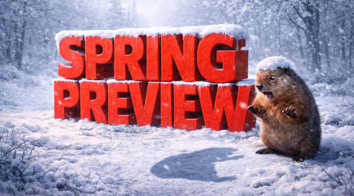
Helena, Montana – Winter is showing no signs of an early exit across Montana, as Groundhog Day tradition lines up with long-range climate signals pointing to a prolonged cold season. Punxsutawney Phil saw his shadow Monday morning, signaling six more weeks of winter and pushing expectations for a meaningful statewide warm-up closer to mid-March.
According to the National Weather Service, Montana falls into an “equal chances” category for temperatures from February through April. That outlook keeps the risk of late-season cold snaps, persistent snow cover, and sharp temperature swings firmly in place. Billings, Great Falls, Havre, and Glasgow remain vulnerable to repeated winter systems, while western valleys near Missoula, Kalispell, and Bozeman could see snow lingering well into March.
Precipitation is expected to be a significant factor. According to NOAA’s Climate Prediction Center, Montana is favored for above-normal precipitation through early spring. That supports additional mountain snowpack and raises concerns for hazardous travel along corridors such as I-90, I-15, and U.S. 2, particularly during snow and wind events that can reduce visibility and create drifting snow.
While the Farmers’ Almanac notes spring officially begins Friday, March 20, and highlights a total lunar eclipse early Tuesday, March 3, winter impacts may extend well beyond those milestones. Montanans are encouraged to remain winter-ready, monitor MDT travel alerts, and prepare for snow and cold to remain part of daily life into early spring, with additional advisories likely as conditions evolve.


