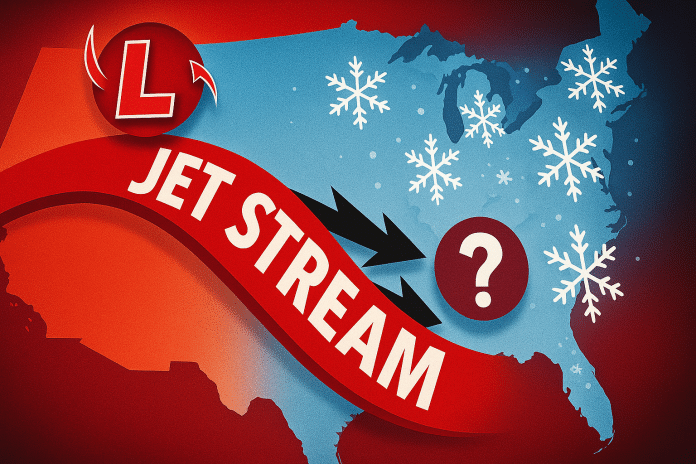
St. Louis, Missouri – A push of Arctic air is expected to influence communities along the Missouri–Illinois border between Jan. 18 and Jan. 22, bringing a turn toward cooler conditions as a fast-moving clipper system reinforces a broader pattern shift across the Midwest.
According to the Climate Prediction Center’s 6–10 day temperature outlook, the Missouri–Illinois border region falls within an area showing a 40% to 60% probability of below-normal temperatures during this period. This reflects moderate confidence in colder-than-average conditions, though the signal is weaker than across parts of the Ohio Valley and Appalachians. The evolving pattern is driven by ridging across the western U.S. and Alaska, allowing cooler Arctic air to press southeastward into the central Plains and Midwest.
Daytime high temperatures are expected to trend a few degrees below mid-January averages at times, while overnight lows dip more noticeably, especially during clear nights. Increasing northwest winds behind the clipper system may add a sharper chill, particularly during overnight and early morning hours for commuters and outdoor workers.
Through Jan. 22, precipitation chances are expected to remain near normal for this time of year. Forecast guidance does not indicate a strong signal for widespread snow or rain during the core cold window, as the incoming air mass is expected to be relatively dry. Any precipitation that does occur would likely be light and brief, associated with fast-moving systems.
For residents along the Missouri–Illinois border, including the St. Louis metro area and surrounding communities, the primary impacts during this period will be cooler daytime temperatures, colder nights, and increased heating demand, rather than significant winter weather disruptions. Forecast updates are expected as temperature trends and wind impacts become clearer later this week.


