Minnesota — Streetlights glint off dull pavement as cold air settles quietly across the metro.
Early this morning, temperatures sit near 27 degrees across Minneapolis–St. Paul. Skies stay mostly cloudy, and the air feels damp despite calm winds. While travel starts quietly, conditions begin changing later today.
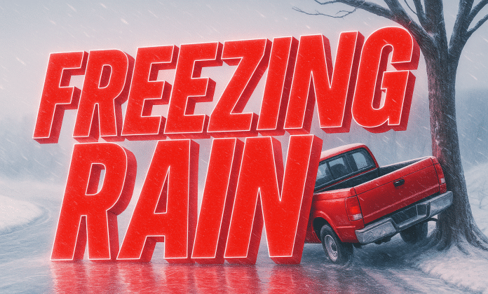
As Christmas Day progresses, a chance of drizzle or freezing rain develops by late morning into afternoon. Surface temperatures hover near 35 degrees, creating a narrow window for slick spots. Elevated roads, bridges, and untreated ramps could glaze briefly. Drivers should stay alert, especially during midday errands.
By evening, drizzle tapers, but patchy fog may redevelop overnight. Visibility could drop suddenly on suburban highways. Plan extra time if traveling after dark.
Friday brings steadier conditions. Clouds linger, with highs near 38 degrees. Roads improve, but moisture remains trapped under low clouds. Friday night stays quiet, setting the stage for weekend changes.
Saturday looks mild for late December. Highs reach near 42 degrees, with mostly cloudy skies and light southeast winds. This is the best travel window for post-Christmas plans. Take advantage of it.
Saturday night into Sunday marks a sharp shift. Freezing rain may develop before dawn, then transition to snow and a wintry mix during the day. Gusty northwest winds strengthen, producing blustery conditions. Snow chances remain around 40 percent, but even light accumulations could impact travel.
By Sunday night, colder air surges in fast. Temperatures fall toward 5 degrees, with wind chills plunging lower. Any leftover moisture freezes solid, raising concerns for black ice early Monday.
Monday stays bitter. Sunshine arrives, but highs struggle near 12 degrees, with gusty winds reinforcing the cold snap. This marks the coldest stretch of the week.
Looking ahead, winter tightens its grip into early next week. Snow chances remain low, but cold dominates. Plan carefully, watch timing, and prepare for rapidly changing road conditions across the Twin Cities.


