
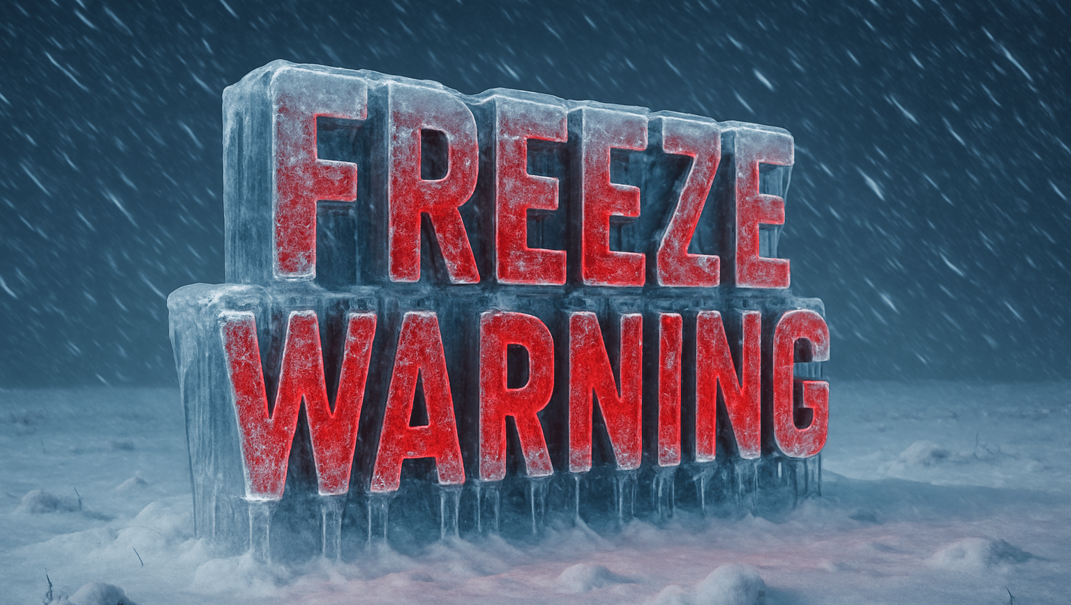
Columbus, OH – Freeze Warnings blanket large swaths of the Midwest and central Appalachia late Thursday night into Friday morning (October 24), with forecasters calling for sub-freezing lows from the mid-20s to near 31°F. The threat window generally runs 1–9 a.m. CDT in the Midwest and 2–9 a.m. EDT farther east.
According to multiple National Weather Service offices, alerts cover parts of Iowa, Wisconsin, Illinois, Indiana, Ohio, Kentucky, West Virginia, Virginia, and western North Carolina—including metro and rural communities from Chicago, Rockford, and Milwaukee to Indianapolis, Columbus, Cincinnati–NKY, Charleston (WV), Roanoke/NRV foothills, and the NC mountains (Avery, Madison, Buncombe, Transylvania, Jackson). Many valleys could see a hard freeze, with the coldest readings (mid-20s) most likely across WI/IA/MN border counties and higher ridges of VA/NC, while upper-20s to near 31°F are common elsewhere.
Impacts include damage to sensitive plants, gardens, and late-season crops, along with potential issues for unprotected outdoor plumbing. The NWS urges residents to bring potted plants indoors, cover tender vegetation, and drain or insulate exposed pipes (a slow drip can help prevent freezing). In-ground sprinkler systems should be shut down and drained.
Timing specifics by zone:
- Midwest (IA/IL/WI/IN): Midnight–9 a.m. CDT; many inland locations likely to dip into the upper-20s.
- Ohio Valley (OH/KY/IN/OH River): 1–9 a.m. EDT; lows 29–31°F widespread.
- Appalachia (WV/VA/NC high country): 2–9 a.m. EDT; valley hard freeze possible, especially sheltered spots.
Temperatures rebound into the 40s–50s by late morning Friday, ending frost formation.

