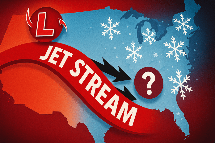
Detroit, MI – Michigan residents are being urged to prepare for an unsettled stretch of winter weather as multiple Alberta Clippers may bring pop-up snowstorms every other day from Saturday, December 7, through Friday, December 13, according to early forecasts. The setup may lead to repeated travel hazards across both peninsulas and the wider Great Lakes region.
According to the National Weather Service (NWS), a strengthening northwest flow will guide several clipper disturbances into the Great Lakes next week. These quick-moving systems—often called the “Clipper Express”—typically produce brief but impactful bursts of snow, gusty winds, and sudden temperature drops.
The first disturbance is expected to reach Michigan Saturday night, with additional waves possible about every 48 hours through late next week. While snowfall totals remain uncertain, even minor accumulation may cause slippery conditions during peak travel times across Detroit, Ann Arbor, Flint, and the I-94 and I-75 corridors.
Forecasters emphasize that the exact track of each clipper will determine which regions see the most snow. Alberta Clippers often organize rapidly and can shift direction with minimal notice, making frequent forecast updates crucial between December 7 and 13.
Travel impacts may extend across the Lower Peninsula—including Grand Rapids, Lansing, and the Thumb—as well as the Upper Peninsula, where lake-enhanced snow could increase totals depending on wind direction behind each system.
The NWS advises residents to monitor updated forecasts and be prepared for fast-changing road conditions throughout the week.


