
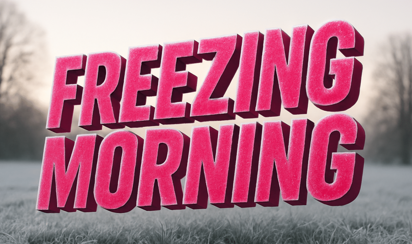
Maryland starts the morning under a sharp winter chill as cold air sweeps across the I-95 corridor. Breath fogs instantly, the pavement feels brittle underfoot, and the Inner Harbor sits quiet beneath a pale December sky.
According to the National Weather Service in Baltimore/Washington, a Hazardous Weather Outlook highlights freezing temperatures and strong winds early today across central Maryland, including Baltimore. Temperatures hover near 20°F, with wind gusts over 20 mph at times, driving wind chills even lower near the water.

The cold creates immediate concerns for commuters and pedestrians. Any moisture left on roads or sidewalks can flash-freeze, especially on bridges, ramps, and shaded streets. Drivers along I-95, I-83, and city parkways should watch for slick spots that may not be obvious at first glance. Plan extra time this morning and slow down where pavement looks wet.
Winds ease tonight as clouds increase, but cold air lingers. Tuesday brings sunshine and a gradual warm-up, with highs climbing into the upper 30s. Melting during the day could refreeze Tuesday night as temperatures dip near 30°F, keeping black ice a concern into early Wednesday.
By Wednesday, conditions improve noticeably. Highs reach the upper 40s, and the air feels less harsh. Thursday continues the warming trend, with highs near 54°F, but that warmth comes with change. Rain is likely Thursday afternoon into Thursday night, with a high chance of wet roads during the evening commute.
Looking toward the weekend, temperatures cool again but remain seasonable. Lingering clouds and occasional rain chances signal an active December pattern as holiday travel approaches.
5-Day Outlook for Baltimore
- Today: Cold, breezy, high 30°F
- Tuesday: Mostly sunny, high 38°F
- Wednesday: Partly sunny, high 48°F
- Thursday: Rain likely, high 54°F
- Friday: Cooler, mostly sunny, high 45°F

