
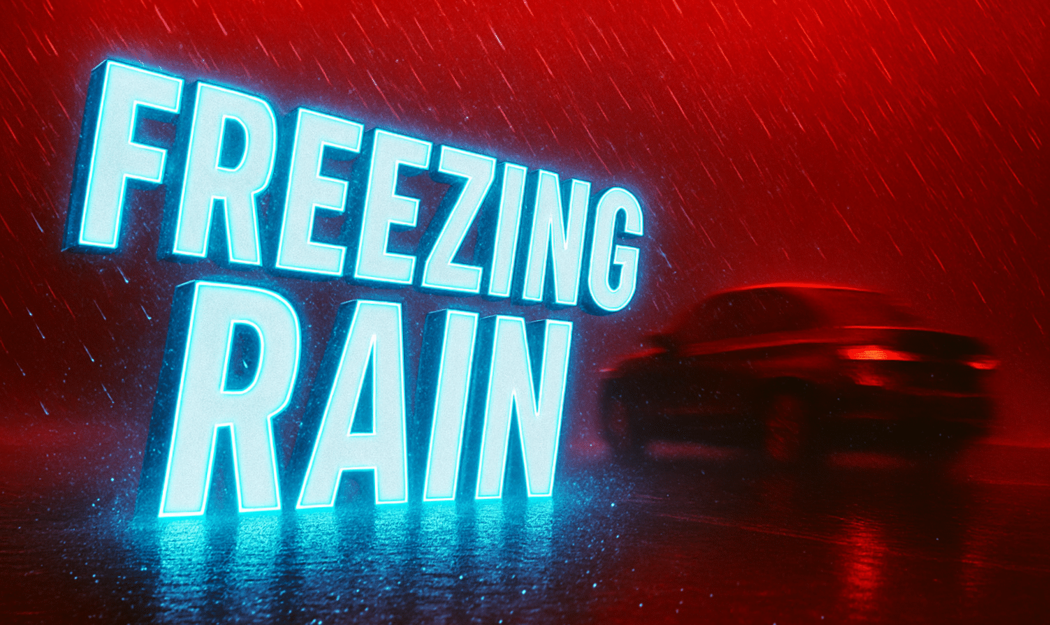
Maryland – Ice glistens on parked cars and untreated roads across Baltimore and Washington, D.C., this early Saturday morning as a Winter Weather Advisory remains in effect until 7 A.M. The air is still and cold, holding near 32°F, perfect for a thin glaze of freezing drizzle that’s turning bridges and overpasses into slick danger zones.
The National Weather Service in Baltimore/Washington warns of light ice accumulations, especially north of D.C. through central and northern Maryland, including Anne Arundel, Howard, and Baltimore counties. Even a few hundredths of an inch can be hazardous. “Any untreated roadways, ramps, and sidewalks may quickly ice up,” meteorologists cautioned.
Drivers should slow down and use extreme caution, particularly on I-95, I-695, I-270, and U.S. 50, where black ice can form without warning. By sunrise, temperatures are expected to dip back into the 20s, refreezing any slush or meltwater from earlier in the week.
Conditions improve by midmorning as sunshine breaks through and highs climb into the mid-40s, melting away residual ice. Sunday and Monday stay dry and mostly sunny, but chilly — highs hover near the low 40s and nights drop back below freezing.
Looking ahead, another weak frontal system could bring rain and snow chances by Wednesday, signaling a return to active winter weather heading into mid-December. Long-range models hint that Dec. 11–17 may bring a stronger cold push into the Northeast and Great Lakes, boosting early holiday travel concerns.

