
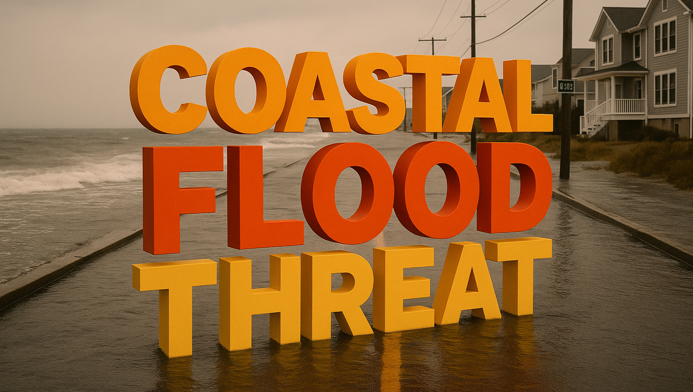
Annapolis, Maryland – High tides combined with dangerous surf and lingering storm surge from Tropical Storm Erin are creating serious flooding threats across the Mid-Atlantic coast, with major impacts expected through Saturday night.
According to the National Weather Service offices in Wakefield, Virginia, and Mount Holly, New Jersey, the worst coastal flooding will align with high tide cycles today and tonight, particularly around the Chesapeake Bay, Delaware Bay, and parts of coastal New Jersey. Portions of Cambridge, Crisfield, Chincoteague, and Lewes are facing moderate to major flood risk, with floodwaters potentially inundating roads, low-lying neighborhoods, and critical infrastructure.
Minor to moderate threats extend from Virginia Beach north to Philadelphia, with nuisance flooding reported in areas like Tappahannock and Seaside Heights. Despite the lack of heavy rainfall, water levels remain elevated due to persistent onshore flow and wave action. Rip currents and beach erosion will continue to be a hazard, especially along open ocean beaches.
Residents are urged to avoid flood-prone roads, monitor local tide charts, and heed any coastal flood advisories. Drivers should remain cautious during high tide cycles and prepare for detours or closures on vulnerable roadways.
Coastal flood advisories and warnings remain in effect through the weekend, and additional alerts may be issued as conditions evolve.

