
New York, NY – Severe thunderstorms are expected to hammer the East Coast from New York to Virginia through 9 p.m. Tuesday, threatening over 42 million people with damaging winds, isolated hail, and power outages. Residents in cities like New York, Philadelphia, Washington, D.C., and Virginia Beach should prepare for rapidly changing weather and potential hazards on the road.
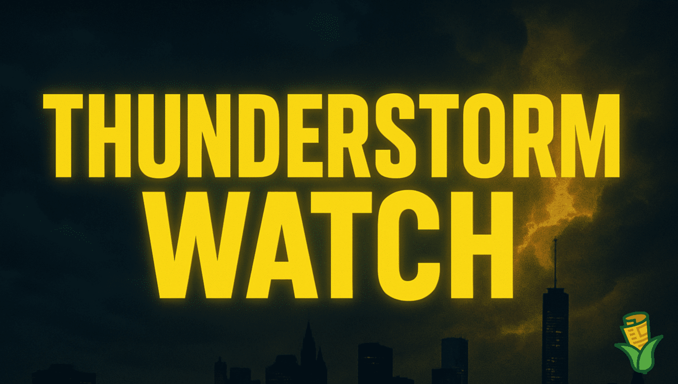
According to the National Weather Service, a Severe Thunderstorm Watch is in effect until 9 p.m. EDT, July 8, with the highest risk for gusty winds up to 70 mph, frequent lightning, and hail up to half an inch in diameter. The watch zone stretches from Bridgeport, CT, through Metro New York, Harrisburg, Philadelphia, Atlantic City, Richmond, and as far south as Virginia Beach. Over 9,000 schools and 529 hospitals lie within the threat area.
Scattered downed trees and power lines could trigger outages and travel delays along major corridors including I-95, I-76, and I-64. Officials urge residents to secure outdoor items, avoid unnecessary travel, and charge electronic devices before storms hit. If thunder roars, move indoors immediately to stay safe from lightning.
This storm system marks one of the most significant severe weather threats for the region so far this summer. Stay tuned to local alerts, as additional warnings or advisories could be issued through tonight.

