
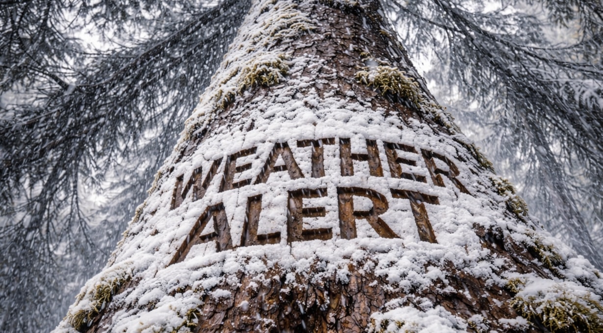
Portland, Maine – A late-season cold surge will drive temperatures well below freezing across Maine overnight, creating widespread frost and increasing the risk of slick roads and accumulating snow in some areas.
According to the National Weather Service Climate Prediction Center, below-normal temperatures will persist statewide through early next week, running 5 to 15 degrees below seasonal averages. While precipitation remains near normal, the colder air mass will support winter-like conditions across much of the state.

Portland is expected to drop into the mid to upper 20s between 2 a.m. and 7 a.m., with inland areas falling into the low to mid-20s. Cities including Augusta, Bangor, and Presque Isle will see widespread freeze conditions, especially across northern Maine.
Light to moderate snow showers are possible, particularly across northern and interior regions, where brief accumulation could occur. Visibility may drop quickly along I-95 and Route 1 during heavier bursts, while southern areas could see a mix of rain and snow or isolated icy spots on untreated roads.
Residents should protect sensitive plants, cover outdoor vegetation, and use caution during early morning travel. This colder pattern will persist through early next week, with additional advisories possible as freezing conditions continue.

