
Louisville, KY – The National Weather Service (NWS) in Louisville has issued a serious warning for southern and central Kentucky this evening, as a major ice storm is expected to create dangerous travel and power conditions through Sunday.
According to the NWS, freezing rain will develop late Saturday and persist overnight, with snow gradually changing to sleet and ice across central and eastern Kentucky. Ice accumulations between 0.50 and 0.75 inches are likely south of the Kentucky Parkways.

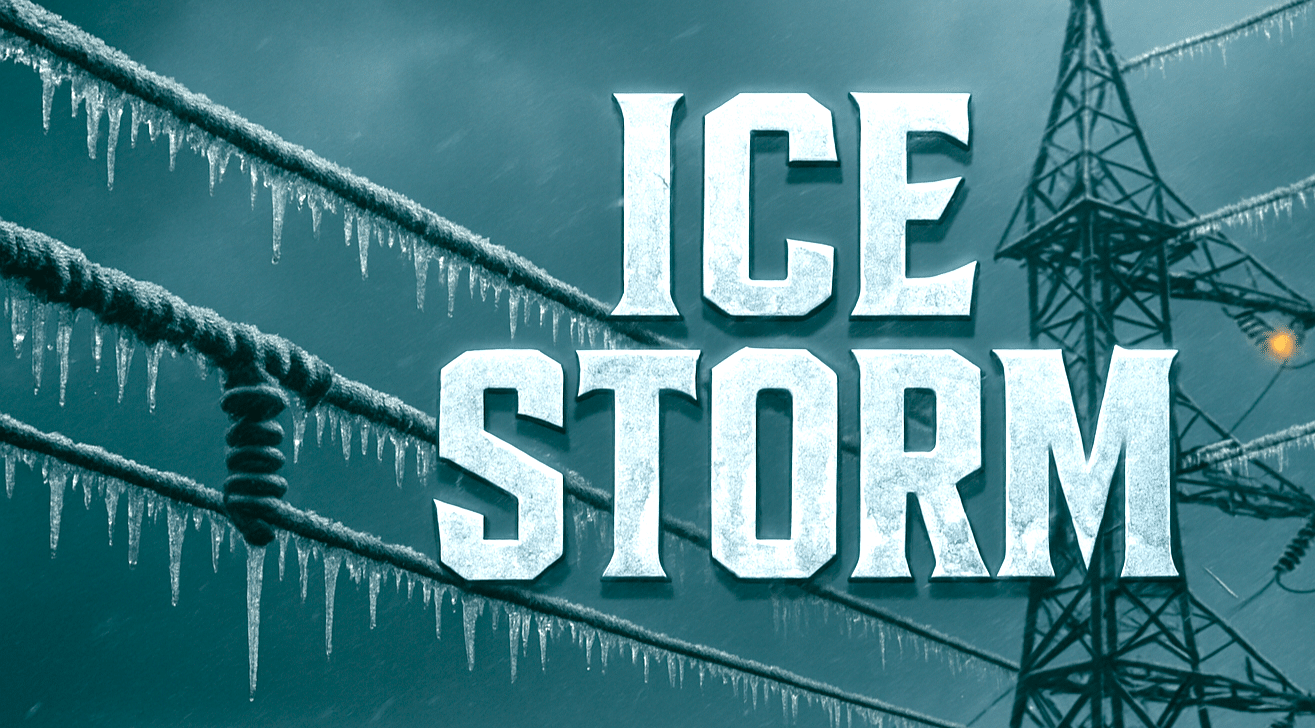
Forecasters warn that significant impacts are expected, including slick and impassable roads, falling tree limbs, and widespread power outages that may last several days. The agency also cautions residents to avoid travel unless absolutely necessary and to prepare for potential utility interruptions.
The advisory map shows the highest risk areas stretching from Bowling Green through Elizabethtown and into parts of eastern Kentucky, where ice accumulation could exceed three-quarters of an inch in isolated spots.
Temperatures will remain below freezing through Sunday, limiting any immediate thawing. The NWS urges residents to have backup heat sources, charge devices, and stay tuned for further updates as conditions evolve overnight.
More information and live updates are available through the National Weather Service Louisville page.
This article was produced by a journalist and may include AI-assisted input. All content is reviewed for accuracy and fairness.
Follow us on Instagram & Facebook for more relevant news stories and SUPPORT LOCAL INDEPENDENT NEWS! Have a tip? Message us!

