
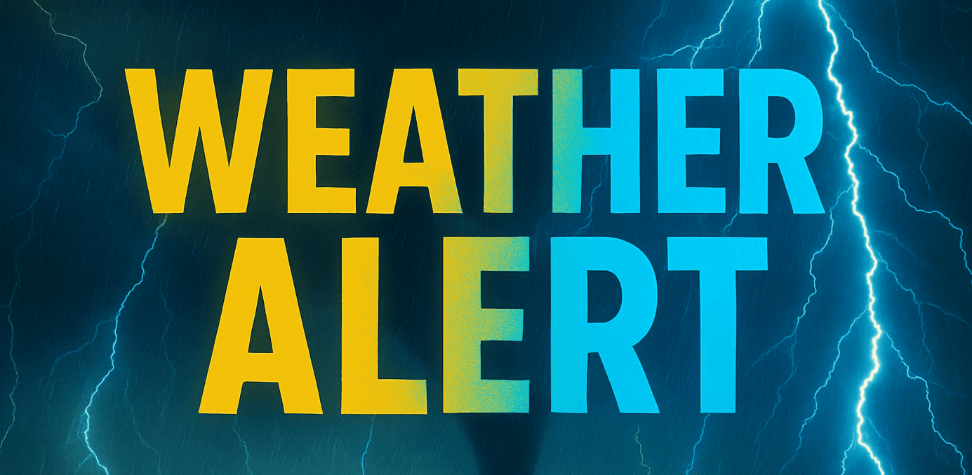
Louisville, Kentucky – Stormy skies are sticking around for much of Kentucky through midweek, with daily rounds of scattered showers and thunderstorms expected until Wednesday evening. The wet pattern will be accompanied by gradually warming temperatures, reaching the upper 80s by Friday.
According to the National Weather Service in Louisville, off-and-on downpours and lightning will continue across central and northern counties, with the heaviest activity most likely in the late afternoons and evenings. While widespread severe weather isn’t expected, isolated flash flooding and gusty winds could impact localized areas—especially near the I-64 corridor.
Louisville, Bowling Green, and Frankfort will all see chances of rain through Wednesday, while more rural counties like Hardin, Anderson, and Shelby should prepare for reduced visibility and slick roads during peak commute times. Power outages are not expected, but drivers should allow extra travel time and stay weather-aware.
Conditions dry out by Thursday as skies clear and sunshine returns. By Friday, most of the state will see highs near 88°F with lower humidity. No weather alerts are currently in effect for Thursday or Friday, but updates may be issued if storm coverage increases sooner than expected.
Five-Day Forecast for Louisville, Kentucky:
- Monday: Scattered storms, high 84°F, low 67°F
- Tuesday: Showers and storms, high 84°F, low 67°F
- Wednesday: Storms likely, high 86°F, low 68°F
- Thursday: Mostly sunny, high 87°F, low 68°F
- Friday: Sunny skies, high 88°F, low 70°F

