
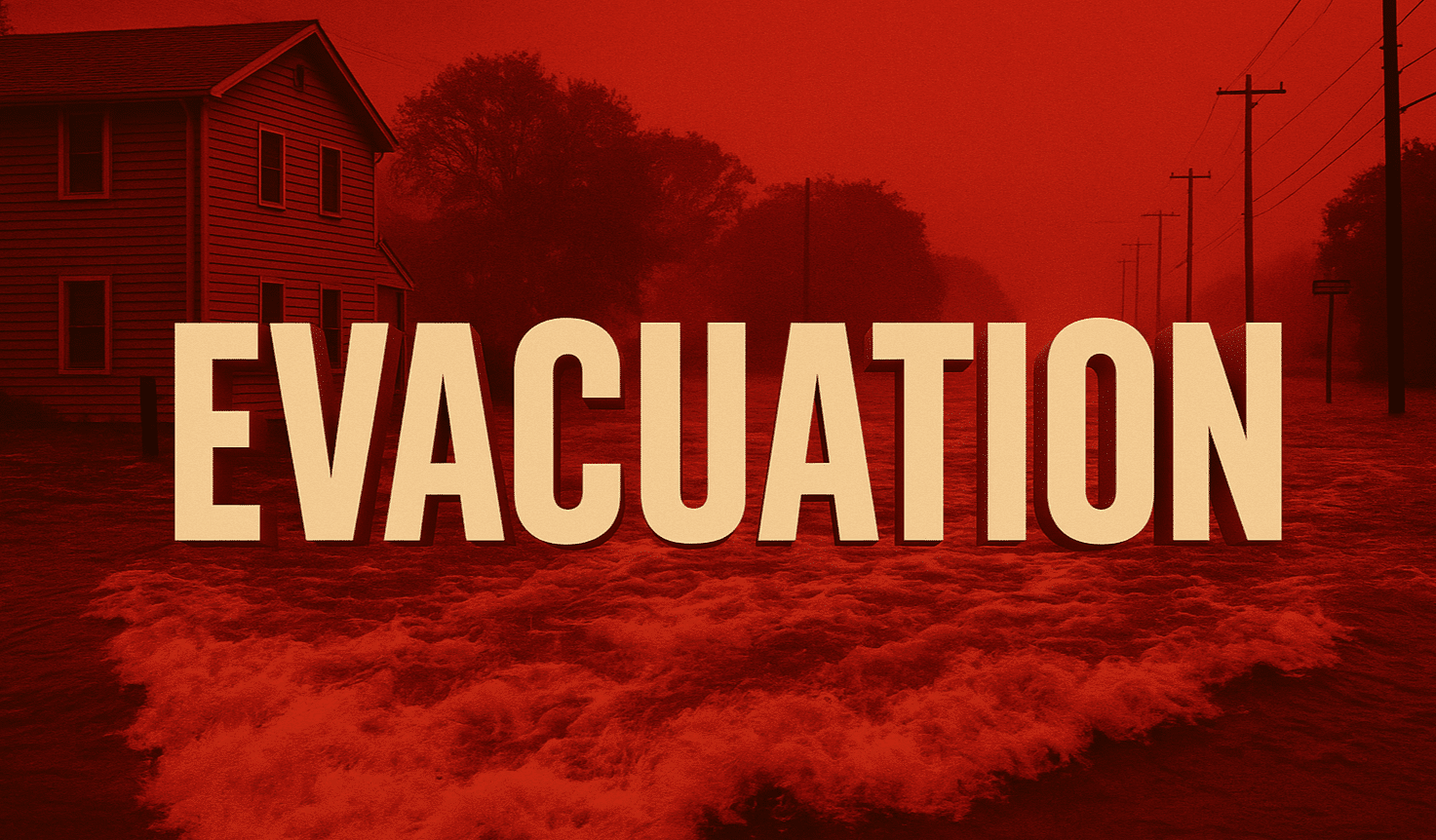
The warning is in effect from 10 p.m. Monday through 6 a.m. Wednesday, as the National Weather Service (NWS) forecasts heavy rain, strong winds, and possible thunderstorms capable of triggering flash flooding and debris flows.
According to the LAFD, residents in Topanga Canyon, Mandeville Canyon, and portions of Malibu should be prepared to leave quickly if evacuation orders are upgraded. The department said it has pre-positioned swift water rescue teams, helicopters, and strike crews across high-risk zones beginning at 6 p.m. Monday.
The NWS expects rain totals between 1 and 1.5 inches along the coast, and up to 3.5 inches in foothills and mountain areas, with wind gusts reaching 40–55 mph. Burn scar areas face the greatest threat of mudslides and roadway flooding overnight into Tuesday.
Officials urge residents to review evacuation plans, secure outdoor items, and avoid canyon roads. Those in flood-prone areas are advised to move vehicles to higher ground and monitor emergency alerts via the Genasys Protect app or local media.
The Flood Watch for Los Angeles, Ventura, Santa Barbara, and San Luis Obispo counties remains active through Tuesday afternoon.

